


16,1 km | 26 km-effort
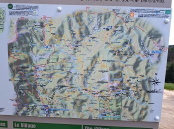
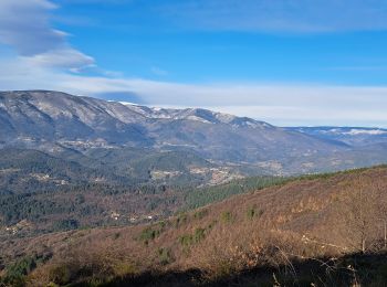
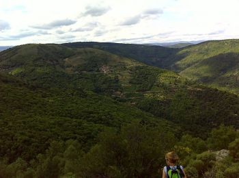
Aujac: Descubra las mejores excursiones: 15 a pie y 6 en bici o bici de montaña. Todos estos circuitos, recorridos, itinerarios y actividades al aire libre están disponibles en nuestras aplicaciones SityTrail para smartphone y tablet.
Senderismo


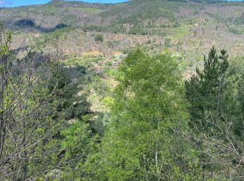
Senderismo
Senderismo
Senderismo
Senderismo
Senderismo

Senderismo
• Facile
Senderismo
Senderismo
• TOUR DES HAMEAUX DE MALONS 19.8 Km - 06:30 - D 600 m Départ randonnée : col du Péras sur la commune d'Aujac (Gard 30)...

Bici de montaña
Senderismo
Senderismo
Senderismo
Bici de montaña
Bici de carretera
Bici de montaña
Bici de carretera
Bici de carretera
Senderismo
Senderismo
20 excursiones mostradas en 21
Aplicación GPS de excursión GRATIS
 SityTrail
IGN / Institutos geográficos
SityTrail World
El mundo es suyo