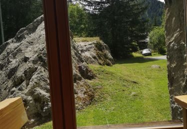
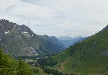
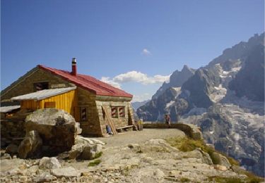
37 km | 70 km-effort
Refuge Fiorio
jcolonnadelega
Usuario
Longitud
6,7 km
Altitud máxima
2729 m
Desnivel positivo
1124 m
Km-Effort
18 km
Altitud mínima
1597 m
Desnivel negativo
4 m
Boucle
No
Fecha de creación :
2019-06-02 20:23:56.924
Última modificación :
2020-02-19 15:00:16.908
--
Dificultad : Muy fácil
Aplicación GPS de excursión GRATIS
A propósito
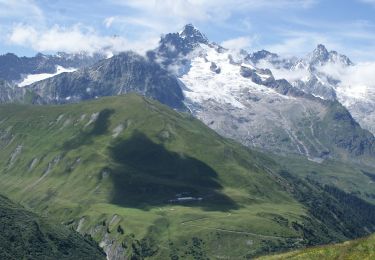
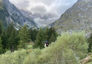
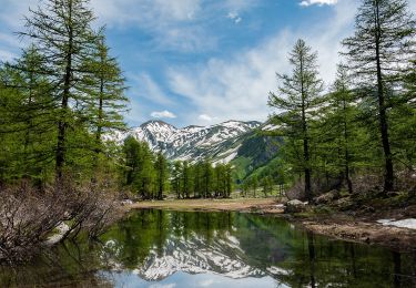
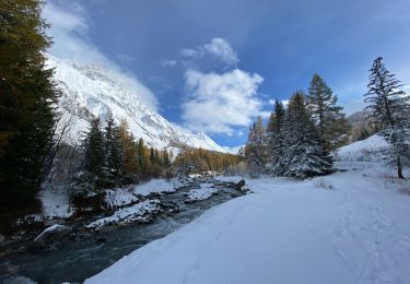
Ruta Esquí de fondo de 6,7 km a descubrir en Vallés, Entremont, Orsières. Esta ruta ha sido propuesta por jcolonnadelega.
Localización
País:
Switzerland
Región :
Vallés
Departamento/provincia :
Entremont
Municipio :
Orsières
Localidad:
Unknown
Salida:(Dec)
Salida:(UTM)
352595 ; 5088256 (32T) N.
Comentarios
Excursiones cerca
Trail Verbier St-Bernard - Traversée
A pie
Muy difícil
Orsières,
Vallés,
Entremont,
Switzerland
15h 47min
No
Sentier des Bergers
A pie
Fácil
Orsières,
Vallés,
Entremont,
Switzerland
4,8 km | 9,2 km-effort
2h 5min
No
La Fouly Ferret
Senderismo
Medio
Orsières,
Vallés,
Entremont,
Switzerland
6,4 km | 9,7 km-effort
2h 58min
Sí
Itinerario 23 Rifugio Dalmazzi
A pie
Fácil
Courmayeur,
Valle de Aosta,
Desconocido,
Italy
4,1 km | 6,6 km-effort
1h 29min
No
La Fouly, Randonée hivernale, Sentier de l''Amône
Senderismo
Muy fácil
(1)
Orsières,
Vallés,
Entremont,
Switzerland
1,9 km | 2,7 km-effort
50min
Sí
ferret La Foully
Senderismo
Medio
Orsières,
Vallés,
Entremont,
Switzerland
4,6 km | 6,1 km-effort
2h 20min
No
TMB J3 La FOULY - Ref. ELENA
Senderismo
Difícil
Orsières,
Vallés,
Entremont,
Switzerland
10,3 km | 23 km-effort
4h 46min
No
Cabane de l''A Neuve
Senderismo
Muy fácil
Orsières,
Vallés,
Entremont,
Switzerland
5,4 km | 16,6 km-effort
2h 43min
No