


5,6 km | 8,8 km-effort
Orsières: Descubra las mejores excursiones: 95 a pie y 6 en bici o bici de montaña. Todos estos circuitos, recorridos, itinerarios y actividades al aire libre están disponibles en nuestras aplicaciones SityTrail para smartphone y tablet.
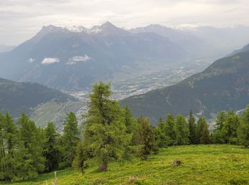
A pie


• Trail created by Valrando.
A pie
• Une course pour les Championnats suisse de Trail Running, événement de l’année pour le Trail. L’aventure sera à l'X-A...
A pie
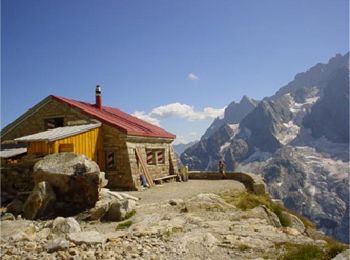
• didactic circuit around Champex
A pie
• Trail created by Office du Tourisme de La Fouly. Hike from La Fouly to the medow of the Mont-Percé and back.
A pie
• Trail created by Valrando.
Senderismo
A pie
• tour des raccard du blé
Senderismo
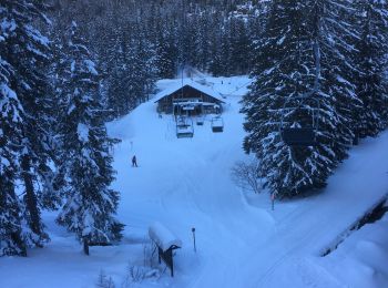
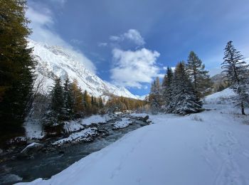
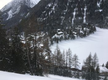
Raquetas de nieve
Senderismo
• Pénible pas de dénivelé et pas très beau
Senderismo
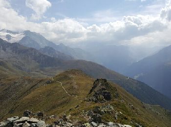
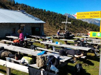
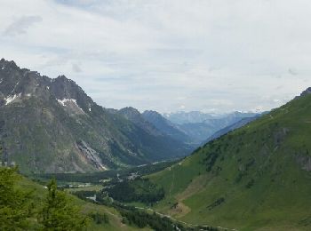
• Champex -> Col de la Forclaz

Senderismo
Senderismo
Senderismo
Senderismo
Senderismo
Raquetas de nieve
Raquetas de nieve
Senderismo
Senderismo
20 excursiones mostradas en 165
Aplicación GPS de excursión GRATIS
 SityTrail
IGN / Institutos geográficos
SityTrail World
El mundo es suyo