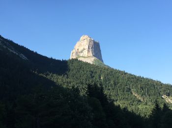
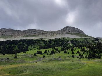
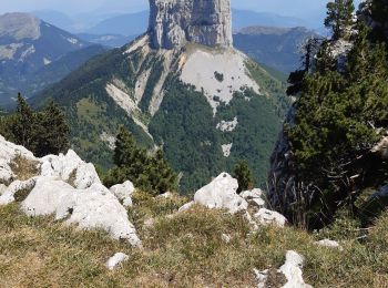
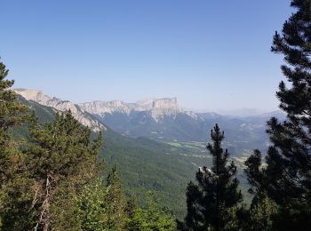
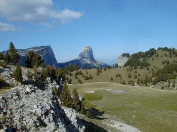
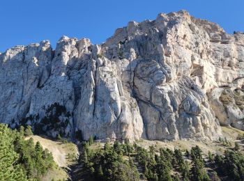
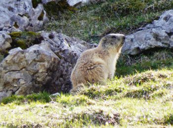
Chichilianne, Isère, A pie: Los mejores itinerarios de excursión, recorridos, paseos y sendas

10 comentarios

Chichilianne: Descubra las mejores excursiones: 15 a pie y 140 senderismo. Todos estos circuitos, recorridos, itinerarios y actividades al aire libre están disponibles en nuestras aplicaciones SityTrail para smartphone y tablet.


Los mejores recorridos (155)

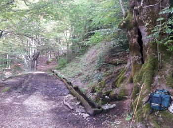
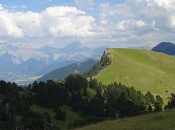
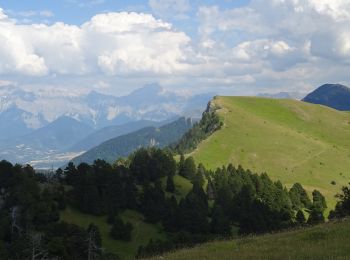
Excursión Senderismo Chichilianne - Le Platary - Photo
Senderismo 6.577
Km

Senderismo

Medio
(2)
Chichilianne, Auvergne-Rhône-Alpes, Isère, France
6,6 km | 12,1 km-effort
2h 29min
417 m
419 m
patjobou

• Belle petite boucle - Très belle vue circulaire au sommet. Possible en raquettes. Si on veut continuer la crêt, il es...
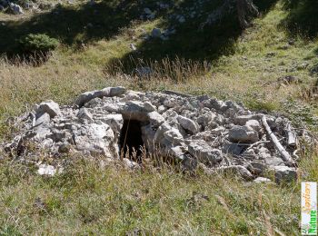
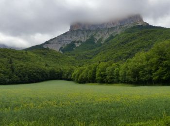
Excursión Senderismo Chichilianne - La Fontaine Pourrie - Hauts Plateaux Sud du Vercors - Photo
Senderismo 19.427
Km

Senderismo

Medio
(2)
Chichilianne, Auvergne-Rhône-Alpes, Isère, France
19,4 km | 33 km-effort
7h 45min
1002 m
1000 m
tracegps

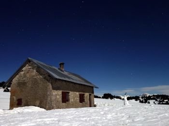
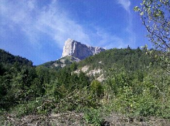
Excursión Senderismo Chichilianne - 14923554-Tour du Mont Aiguille - Photo
Senderismo 17.696
Km

Senderismo

Muy difícil
(1)
Chichilianne, Auvergne-Rhône-Alpes, Isère, France
17,7 km | 33 km-effort
7h 27min
1135 m
1132 m
Maryma

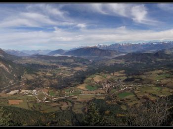
Excursión Senderismo Chichilianne - Diois 2024 1ère journée  - Photo
Senderismo 22.198
Km

Senderismo

Medio
Chichilianne, Auvergne-Rhône-Alpes, Isère, France
22 km | 35 km-effort
4h 59min
958 m
1073 m
No
planets

Excursión Senderismo Chichilianne - Esclops Trièves Tour du Mont Aiguille - Photo
Senderismo 16.565
Km

Senderismo

Difícil
Chichilianne, Auvergne-Rhône-Alpes, Isère, France
16,6 km | 32 km-effort
7h 38min
1143 m
1144 m
TOULAUDIN

Excursión A pie Chichilianne - Pas de l'Aiguille - Photo
A pie 17.074
Km
GUIDE+

A pie

Medio
Chichilianne, Auvergne-Rhône-Alpes, Isère, France
17,1 km | 29 km-effort
6h 39min
917 m
920 m
SityTrail - itinéraires balisés pédestres

Excursión Senderismo Chichilianne - Sommets de Charbonnier & du Platary - Photo
Senderismo 12.051
Km

Senderismo

Medio
Chichilianne, Auvergne-Rhône-Alpes, Isère, France
12,1 km | 21 km-effort
5h 24min
676 m
677 m
flip38

Excursión Senderismo Chichilianne - Autour du mont Aiguille - Photo
Senderismo 19.646
Km

Senderismo

Difícil
Chichilianne, Auvergne-Rhône-Alpes, Isère, France
19,6 km | 35 km-effort
6h 48min
1132 m
1126 m
ajd26

Excursión Senderismo Chichilianne - La Montagnette par les pas de l'Aiguille et de l'Essaure - Photo
Senderismo 15.862
Km

Senderismo

Muy difícil
Chichilianne, Auvergne-Rhône-Alpes, Isère, France
15,9 km | 29 km-effort
6h 55min
988 m
1063 m
No
GuyVachet

Excursión Senderismo Chichilianne - la richardiere rocher du parquet - Photo
Senderismo 16.713
Km

Senderismo

Muy fácil
Chichilianne, Auvergne-Rhône-Alpes, Isère, France
16,7 km | 30 km-effort
8h 19min
1010 m
1011 m
Joel26400

Excursión Senderismo Chichilianne - Tete de Praortzel et Crête de Grande Leirie - Photo
Senderismo 12.351
Km

Senderismo

Difícil
Chichilianne, Auvergne-Rhône-Alpes, Isère, France
12,4 km | 21 km-effort
5h 39min
641 m
641 m
patjobou

Excursión Senderismo Chichilianne - 20180607123649-yXjCl - Photo
Senderismo 12.473
Km
GUIDE

Senderismo

Muy difícil
Chichilianne, Auvergne-Rhône-Alpes, Isère, France
12,5 km | 22 km-effort
4h 22min
675 m
725 m
No
holtzv

Excursión Senderismo Chichilianne - 20180702093201-nyC21 - Photo
Senderismo 9.319
Km
GUIDE

Senderismo

Medio
Chichilianne, Auvergne-Rhône-Alpes, Isère, France
9,3 km | 18,6 km-effort
3h 55min
793 m
404 m
No
holtzv

Excursión Senderismo Chichilianne - circuit botanique des alpages - Photo
Senderismo 152.469
Km

Senderismo

Fácil
Chichilianne, Auvergne-Rhône-Alpes, Isère, France
152 km | 331 km-effort
3h 0min
13330 m
13658 m
No
biollay

• petite boucle à la découverte des arbres de nos pentes des Aravis.
Excursión Senderismo Chichilianne - de Chichiliane à Les Nonnières - Photo
Senderismo 25.105
Km

Senderismo

Medio
(2)
Chichilianne, Auvergne-Rhône-Alpes, Isère, France
25 km | 41 km-effort
8h 13min
1200 m
1312 m
No
planets

Excursión Senderismo Chichilianne - Vercors-120922(foEnC) - PasEssaure-PasAiguille - Photo
Senderismo 17.757
Km

Senderismo

Medio
Chichilianne, Auvergne-Rhône-Alpes, Isère, France
17,8 km | 30 km-effort
7h 14min
910 m
909 m
randodan

Excursión Senderismo Chichilianne - Vercors-120921(foEnC) - TourMtAiguille - Photo
Senderismo 18.989
Km

Senderismo

Fácil
Chichilianne, Auvergne-Rhône-Alpes, Isère, France
19 km | 33 km-effort
7h 1min
1056 m
1054 m
randodan

Excursión Senderismo Chichilianne - Au pied du Mont-Aiguille - Randonnée GPS - Photo
Senderismo 16.93
Km

Senderismo

Difícil
Chichilianne, Auvergne-Rhône-Alpes, Isère, France
16,9 km | 30 km-effort
6h 30min
976 m
980 m
tracegps

Excursión Senderismo Chichilianne - Tour du Mont Aiguille - 2 nov 2024 - Photo
Senderismo 17.779
Km

Senderismo

Medio
Chichilianne, Auvergne-Rhône-Alpes, Isère, France
17,8 km | 32 km-effort
7h 2min
1057 m
1056 m
morganee

Excursión Senderismo Chichilianne - 2023-05-05_20h59m57_J2 ROCHER PARQUET MODIFIE - Photo
Senderismo 16.738
Km

Senderismo

Muy difícil
Chichilianne, Auvergne-Rhône-Alpes, Isère, France
16,7 km | 31 km-effort
6h 59min
1052 m
1054 m
okfred26

20 excursiones mostradas en 155

Aplicación GPS de excursión GRATIS

Logo SityTrail SityTrail

IGN / Institutos geográficos

Descargar SityTrail en App Store Descargar SityTrail en Google Play

Logo SityTrail SityTrail World

El mundo es suyo

Descargar SityTrail en App Store Descargar SityTrail en Google Play Descargar SityTrail en Huawei AppGallery

Actividades

Cerrar
Mis suscripciones