


27 km | 37 km-effort
Baja Sajonia: Descubra las mejores excursiones: 12 senderismo, 2 carrera, 1 ruta y 713 a pie. Todos estos circuitos, recorridos, itinerarios y actividades al aire libre están disponibles en nuestras aplicaciones SityTrail para smartphone y tablet.
A pie


• not yet published, signs are mounted, mapping is work-in-progress Symbol: Wappenschild mit drei Salzhaken auf rotem ...

A pie
• Trail created by wendland.elbe.
A pie
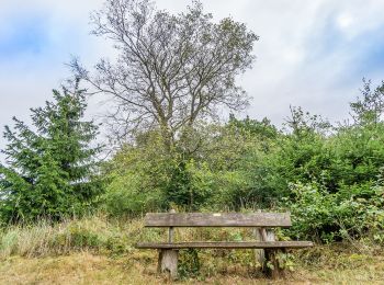
• Trail created by Tourismus-Service Wennigsen.
A pie
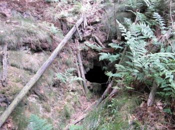
• Trail created by Touristik-Service Wennigsen.
A pie
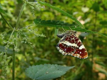
• Trail created by Tourismus-Service Wennigsen.
A pie
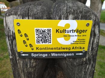
• Trail created by Tourismus-Service Wennigsen.
A pie
• Trail created by Fördergemeinschaft Historisches Altencelle e.V., Stadt Celle, Fachdienst Stadtplanung.
A pie
• Trail created by Munster Touristik. Symbol: Drei weiße Wellen auf blauem Grund
A pie
• Trail created by Munster Touristik. Symbol: Weisser Fisch auf grünem Grund
A pie
• Trail created by Munster Touristik. Symbol: Braun-Gelbe Kartoffel auf weißem Grund
A pie
• Trail created by Kulturraum Oberes Örzetal. Symbol: Weisser Zapfen auf braunem Grund
A pie
• Trail created by Touristikverband Landkreis Rotenburg (Wümme). Symbol: weißes, stilisiertes N auf orangenem Grund, d...
A pie
• Trail created by Touristikverband Landkreis Rotenburg (Wümme). Symbol: weißes, stilisiertes N auf orangenem Grund, d...
A pie
• Trail created by Touristikverband Landkreis Rotenburg (Wümme). Symbol: weißes, stilisiertes N auf orangenem Grund, d...
A pie
• Symbol: blaue Buchstaben und Ziffer BW 5 auf gelbem Grund
A pie
• Symbol: blaue Buchstaben und Ziffer BW2 auf gelbem Grund
A pie
• Trail created by Gemeinde Großenkneten.
A pie
• Trail created by Naturpark Münden.
A pie
• Trail created by Naturpark Münden.
A pie
• Trail created by Naturpark Münden.
20 excursiones mostradas en 728
Aplicación GPS de excursión GRATIS
 SityTrail
IGN / Institutos geográficos
SityTrail World
El mundo es suyo