


8,6 km | 11,2 km-effort
Landkreis Göttingen: Descubra las mejores excursiones: 121 a pie y 3 senderismo. Todos estos circuitos, recorridos, itinerarios y actividades al aire libre están disponibles en nuestras aplicaciones SityTrail para smartphone y tablet.
A pie


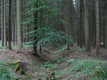
• Trail created by Naturpark Münden.
A pie
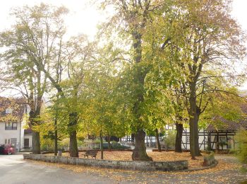
• Trail created by Naturpark Münden.
A pie
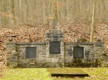
• Trail created by Naturpark Münden.
A pie
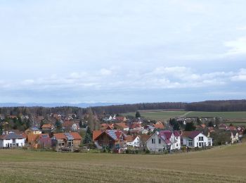
• Trail created by Naturpark Münden.
A pie
• Willkommen in der Erlebnisregion Hann. Münden! Hier finden Sie ✓ Unterkünfte ✓ Veranstaltungen ✓ Schiffsfahrten ✓ Wan...
A pie
• Willkommen in der Erlebnisregion Hann. Münden! Hier finden Sie ✓ Unterkünfte ✓ Veranstaltungen ✓ Schiffsfahrten ✓ Wan...
A pie
• Willkommen in der Erlebnisregion Hann. Münden! Hier finden Sie ✓ Unterkünfte ✓ Veranstaltungen ✓ Schiffsfahrten ✓ Wan...
A pie
• Symbol: pointy isosceles triangle
A pie
• Symbol: square
A pie
• Symbol: rectangle twice as wide as high
A pie
• Trail created by Landkreis Göttingen. Symbol: white "E1" on black background
A pie
• Trail created by Landkreis Göttingen. Symbol: white "B1" on black background
A pie
• Trail created by Landkreis Göttingen. Symbol: white "H2" on black background
A pie
• Trail created by Landkreis Göttingen. Symbol: white "H1" on black background
A pie
• Trail created by Naturpark Münden. Symbol: S3 im Kreis (gelb)
A pie
• Trail created by Naturpark Münden. Symbol: S9 im Kreis (gelb)
A pie
• Trail created by Naturpark Münden. Symbol: S1 im Kreis (gelb)
A pie
• Trail created by Naturpark Münden. Symbol: S5 im Kreis (gelb)
A pie
• Trail created by Naturpark Münden. Symbol: S4 im Kreis (gelb)
A pie
• Trail created by Naturpark Münden. Symbol: S8 im Kreis (gelb)
20 excursiones mostradas en 124
Aplicación GPS de excursión GRATIS
 SityTrail
IGN / Institutos geográficos
SityTrail World
El mundo es suyo