
- Excursiones
- A pie
- Switzerland
- Grisones
- Region Engiadina Bassa/Val Müstair
Region Engiadina Bassa/Val Müstair, Grisones, A pie: Los mejores itinerarios de excursión, recorridos, paseos y sendas
Region Engiadina Bassa/Val Müstair: Descubra las mejores excursiones: 51 a pie y 10 senderismo. Todos estos circuitos, recorridos, itinerarios y actividades al aire libre están disponibles en nuestras aplicaciones SityTrail para smartphone y tablet.
Los mejores recorridos (61)
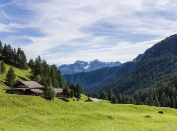
Km
A pie


• Griosch - Fimberpass Symbol: weiss-rot-weiss
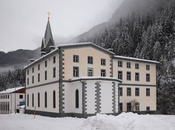
Km
A pie


• Martina - Alp Tea Symbol: weiss-rot-weiss
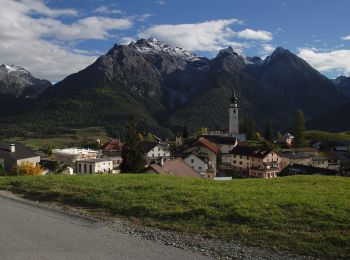
Km
A pie


• Symbol: weiss-rot-weiss
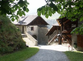
Km
A pie


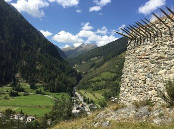
• Chaposch - Gurlaina Symbol: gelber Diamant
Km
A pie


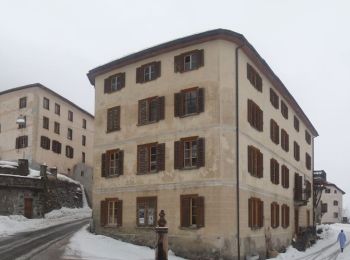
• Susch - Lavin Symbol: gelber Diamant
Km
A pie


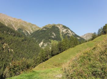
• Lavin - Sur En Symbol: gelber Diamant
Km
A pie


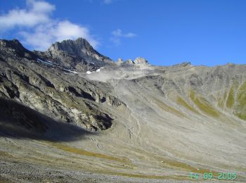
• Vna - Piz Arina Symbol: weiss-rot-weiss
Km
A pie


• Griosch - Furcla Maisas Symbol: weiss-rot-weiss
Km
A pie


• Symbol: weiss-rot-weiss
Km
A pie


• Symbol: weiss-rot-weiss
Km
A pie


• Trail created by BAW Bündner Wanderwege. Symbol: weiss-rot-weiss

Km
A pie


• Trail created by BAW Bündner Wanderwege. Symbol: weiss-blau-weiss
Km
A pie


• Trail created by BAW Bündner Wanderwege. Symbol: weiss-rot-weiss
Km
A pie


• Trail created by BAW Bündner Wanderwege. There are two parallel routes marked between Alp Astras and Plan d'Immez. ...

Km
A pie


• Trail created by BAW Bündner Wanderwege. There are two parallel routes marked between Alp Astras and Plan d'Immez. ...

Km
A pie


• Symbol: weiss-rot-weiss
Km
A pie


• Symbol: weiss-rot-weiss
Km
A pie


• Trail created by BAW - Bündner Wanderwege. Symbol: weiss-rot-weiss
Km
A pie


• Trail created by Bündner Wanderwege. Symbol: weiss-rot-weiss

Km
A pie


• Trail created by Bündner Wanderwege. Symbol: weiss-rot-weiss
20 excursiones mostradas en 61
Aplicación GPS de excursión GRATIS


 SityTrail


