
Val Müstair, Region Engiadina Bassa/Val Müstair, A pie: Los mejores itinerarios de excursión, recorridos, paseos y sendas
Val Müstair: Descubra las mejores excursiones: 13 a pie y 3 senderismo. Todos estos circuitos, recorridos, itinerarios y actividades al aire libre están disponibles en nuestras aplicaciones SityTrail para smartphone y tablet.
Los mejores recorridos (16)
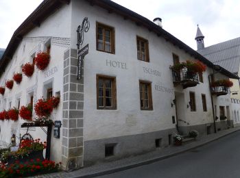
Km
A pie


• Symbol: weiss-rot-weiss
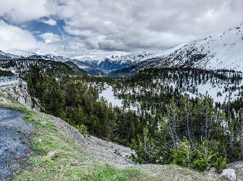
Km
A pie


• Trail created by BAW - Bündner Wanderwege. Symbol: weiss-rot-weiss

Km
A pie


• Trail created by Bündner Wanderwege. Symbol: weiss-rot-weiss

Km
A pie


• Trail created by Bündner Wanderwege. Symbol: weiss-rot-weiss

Km
A pie


• Trail created by BAW Bündner Wanderwege. Symbol: weiss-rot-weiss

Km
A pie


• Trail created by BAW Bündner Wanderwege. Symbol: weiss-rot-weiss

Km
A pie


• Trail created by BAW Bündner Wanderwege. Symbol: weiss-rot-weiss
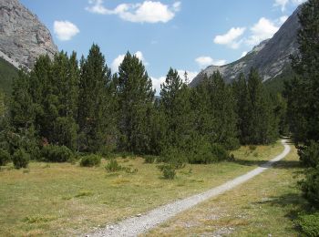
Km
A pie


• Trail created by BAW Bündner Wanderwege. Symbol: weiss-rot-weiss

Km
A pie


• Trail created by Tourissem Val Müstair.
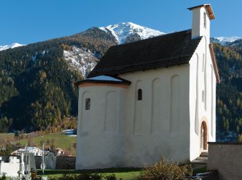
Km
A pie


• Trail created by BAW Bündner Wanderwege. Symbol: weiss-rot-weiss
Km
A pie


• Trail created by BAW - Bündner Wanderwege. Symbol: weiss-rot-weiss
Km
A pie


• Trail created by Bündner Wanderwege. Symbol: weiss-rot-weiss
Km
A pie


Km
Senderismo


•

Km
Senderismo


Km
Senderismo


•
16 excursiones mostradas en 16
Aplicación GPS de excursión GRATIS


 SityTrail


