![](/images/other/stat-length.png)
- Excursiones
- A pie
- Switzerland
- Grisones
Grisones, Switzerland, A pie: Los mejores itinerarios de excursión, recorridos, paseos y sendas
Grisones: Descubra las mejores excursiones: 179 a pie, 121 senderismo, 1 marcha nórdica y 4 carrera. Todos estos circuitos, recorridos, itinerarios y actividades al aire libre están disponibles en nuestras aplicaciones SityTrail para smartphone y tablet.
Los mejores recorridos (305)
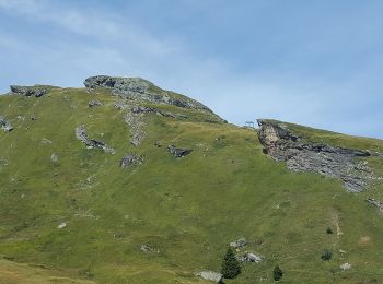
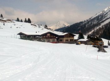
![Excursión A pie Surses - Tigia - Tigignas Bergrestaurant - Photo](https://media.geolcdn.com/t/350/260/5769d91b-3071-4d3b-9f1e-d7b54fa25e71.jpeg&format=jpg&maxdim=2)
![A pie A pie](https://static1.geolcdn.com/sitytour/trail-icons/100.png)
Km
A pie
![](/images/other/stat-length.png)
![](https://static1.geolcdn.com/siteimages/upload/files/1508320355ic_sort_den_pos_24dp.png)
![](https://static1.geolcdn.com/siteimages/upload/files/1508320355ic_sort_den_neg_24dp.png)
![](https://static1.geolcdn.com/siteimages/upload/files/16400158638029165_repeat_loop_refresh_sync_direction_icon.png)
• Symbol: weiss-rot-weiss
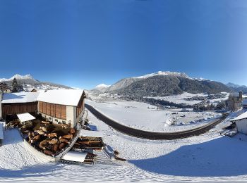
![Excursión A pie Surses - Somtgant - Radons - Photo](https://media.geolcdn.com/t/350/260/fc927a7e-86b9-4f8e-836e-f8fc430c28bd.jpeg&format=jpg&maxdim=2)
![A pie A pie](https://static1.geolcdn.com/sitytour/trail-icons/100.png)
Km
A pie
![](/images/other/stat-length.png)
![](https://static1.geolcdn.com/siteimages/upload/files/1508320355ic_sort_den_pos_24dp.png)
![](https://static1.geolcdn.com/siteimages/upload/files/1508320355ic_sort_den_neg_24dp.png)
![](https://static1.geolcdn.com/siteimages/upload/files/16400158638029165_repeat_loop_refresh_sync_direction_icon.png)
• Symbol: weiss-rot-weiss
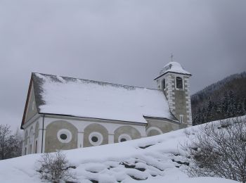
![Excursión A pie Surses - Riom - Salouf - Photo](https://media.geolcdn.com/t/350/260/b8cde6d9-3bc9-4d8d-b517-8ffeb22e34f7.jpeg&format=jpg&maxdim=2)
![A pie A pie](https://static1.geolcdn.com/sitytour/trail-icons/100.png)
Km
A pie
![](/images/other/stat-length.png)
![](https://static1.geolcdn.com/siteimages/upload/files/1508320355ic_sort_den_pos_24dp.png)
![](https://static1.geolcdn.com/siteimages/upload/files/1508320355ic_sort_den_neg_24dp.png)
![](https://static1.geolcdn.com/siteimages/upload/files/16400158638029165_repeat_loop_refresh_sync_direction_icon.png)
• Symbol: weiss-rot-weiss
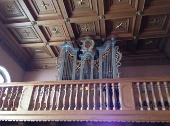
![Excursión A pie Disentis/Mustér - Senda Desertina - Photo](https://media.geolcdn.com/t/350/260/d6445441-ea12-4a12-9f72-eccb0e86ffc5.jpeg&format=jpg&maxdim=2)
![A pie A pie](https://static1.geolcdn.com/sitytour/trail-icons/100.png)
Km
A pie
![](/images/other/stat-length.png)
![](https://static1.geolcdn.com/siteimages/upload/files/1508320355ic_sort_den_pos_24dp.png)
![](https://static1.geolcdn.com/siteimages/upload/files/1508320355ic_sort_den_neg_24dp.png)
![](https://static1.geolcdn.com/siteimages/upload/files/16400158638029165_repeat_loop_refresh_sync_direction_icon.png)
• Trail created by Wanderland Schweiz. Sitio web: https://www.schweizmobil.ch/de/wanderland/routen/route-0680.html
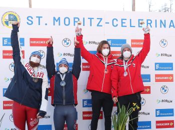
![Excursión A pie Sankt Moritz - SEERUNDGANG - Photo](https://media.geolcdn.com/t/350/260/fb476387-3b2e-4236-b860-c8f411416028.jpeg&format=jpg&maxdim=2)
![A pie A pie](https://static1.geolcdn.com/sitytour/trail-icons/100.png)
Km
A pie
![](/images/other/stat-length.png)
![](https://static1.geolcdn.com/siteimages/upload/files/1508320355ic_sort_den_pos_24dp.png)
![](https://static1.geolcdn.com/siteimages/upload/files/1508320355ic_sort_den_neg_24dp.png)
![](https://static1.geolcdn.com/siteimages/upload/files/16400158638029165_repeat_loop_refresh_sync_direction_icon.png)
• Trail created by Graubünden Wanderwege. Symbol: weiss-rot-weiss
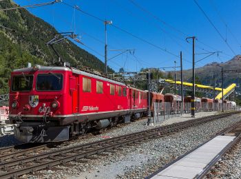
![Excursión A pie Bever - Bever - Spinas (Alternativroute) - Photo](https://media.geolcdn.com/t/350/260/7e33e9bc-95dc-4fc4-81b2-c14c2c4df8b6.jpeg&format=jpg&maxdim=2)
![A pie A pie](https://static1.geolcdn.com/sitytour/trail-icons/100.png)
Km
A pie
![](/images/other/stat-length.png)
![](https://static1.geolcdn.com/siteimages/upload/files/1508320355ic_sort_den_pos_24dp.png)
![](https://static1.geolcdn.com/siteimages/upload/files/1508320355ic_sort_den_neg_24dp.png)
![](https://static1.geolcdn.com/siteimages/upload/files/16400158638029165_repeat_loop_refresh_sync_direction_icon.png)
• Trail created by Wanderwege Graubünden. Symbol: weiss-rot-weiss
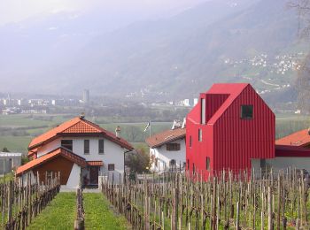
![Excursión A pie Malans - Malans - Felsenbach - Photo](https://media.geolcdn.com/t/350/260/54769c9d-377e-48a7-bced-642103341d36.jpeg&format=jpg&maxdim=2)
![A pie A pie](https://static1.geolcdn.com/sitytour/trail-icons/100.png)
Km
A pie
![](/images/other/stat-length.png)
![](https://static1.geolcdn.com/siteimages/upload/files/1508320355ic_sort_den_pos_24dp.png)
![](https://static1.geolcdn.com/siteimages/upload/files/1508320355ic_sort_den_neg_24dp.png)
![](https://static1.geolcdn.com/siteimages/upload/files/16400158638029165_repeat_loop_refresh_sync_direction_icon.png)
• Symbol: gelbe Raute
![Excursión A pie Landquart - Ganda - Igis - Photo](https://media.geolcdn.com/t/350/260/3b891b23-e477-4f5b-b9b2-56717f9cd70e.jpeg&format=jpg&maxdim=2)
![A pie A pie](https://static1.geolcdn.com/sitytour/trail-icons/100.png)
Km
A pie
![](/images/other/stat-length.png)
![](https://static1.geolcdn.com/siteimages/upload/files/1508320355ic_sort_den_pos_24dp.png)
![](https://static1.geolcdn.com/siteimages/upload/files/1508320355ic_sort_den_neg_24dp.png)
![](https://static1.geolcdn.com/siteimages/upload/files/16400158638029165_repeat_loop_refresh_sync_direction_icon.png)
• Symbol: gelbe Raute
![Excursión A pie Trimmis - Untervaz Bahnhof - Haldenstein Station - Photo](https://media.geolcdn.com/t/350/260/7311430a-86af-4033-b9bc-151a95e19bf6.jpeg&format=jpg&maxdim=2)
![A pie A pie](https://static1.geolcdn.com/sitytour/trail-icons/100.png)
Km
A pie
![](/images/other/stat-length.png)
![](https://static1.geolcdn.com/siteimages/upload/files/1508320355ic_sort_den_pos_24dp.png)
![](https://static1.geolcdn.com/siteimages/upload/files/1508320355ic_sort_den_neg_24dp.png)
![](https://static1.geolcdn.com/siteimages/upload/files/16400158638029165_repeat_loop_refresh_sync_direction_icon.png)
• Symbol: gelbe Raute
![Excursión A pie Maienfeld - Meienfeld - Malans - Photo](https://media.geolcdn.com/t/350/260/54769c9d-377e-48a7-bced-642103341d36.jpeg&format=jpg&maxdim=2)
![A pie A pie](https://static1.geolcdn.com/sitytour/trail-icons/100.png)
Km
A pie
![](/images/other/stat-length.png)
![](https://static1.geolcdn.com/siteimages/upload/files/1508320355ic_sort_den_pos_24dp.png)
![](https://static1.geolcdn.com/siteimages/upload/files/1508320355ic_sort_den_neg_24dp.png)
![](https://static1.geolcdn.com/siteimages/upload/files/16400158638029165_repeat_loop_refresh_sync_direction_icon.png)
• Symbol: gelbe Raute
![Excursión A pie Scuol - Griosch - Fimberpass - Photo](https://media.geolcdn.com/t/350/260/295c5ce5-1a10-438a-8e01-b34ac659f5cd.jpeg&format=jpg&maxdim=2)
![A pie A pie](https://static1.geolcdn.com/sitytour/trail-icons/100.png)
Km
A pie
![](/images/other/stat-length.png)
![](https://static1.geolcdn.com/siteimages/upload/files/1508320355ic_sort_den_pos_24dp.png)
![](https://static1.geolcdn.com/siteimages/upload/files/1508320355ic_sort_den_neg_24dp.png)
![](https://static1.geolcdn.com/siteimages/upload/files/16400158638029165_repeat_loop_refresh_sync_direction_icon.png)
• Griosch - Fimberpass Symbol: weiss-rot-weiss
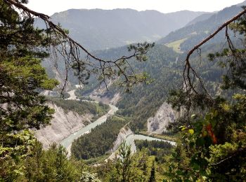
![Excursión A pie Flims - Conn - Cresta See - Photo](https://media.geolcdn.com/t/350/260/1e9e186c-c404-4d25-97ce-94522e729cc7.jpeg&format=jpg&maxdim=2)
![A pie A pie](https://static1.geolcdn.com/sitytour/trail-icons/100.png)
Km
A pie
![](/images/other/stat-length.png)
![](https://static1.geolcdn.com/siteimages/upload/files/1508320355ic_sort_den_pos_24dp.png)
![](https://static1.geolcdn.com/siteimages/upload/files/1508320355ic_sort_den_neg_24dp.png)
![](https://static1.geolcdn.com/siteimages/upload/files/16400158638029165_repeat_loop_refresh_sync_direction_icon.png)
• Symbol: gelbe Raute
![Excursión A pie Tujetsch - Sedrun - Mumpé Tujetsch - Photo](https://media.geolcdn.com/t/350/260/2458fe23-0784-476a-9a9b-342af9af709b.jpeg&format=jpg&maxdim=2)
![A pie A pie](https://static1.geolcdn.com/sitytour/trail-icons/100.png)
Km
A pie
![](/images/other/stat-length.png)
![](https://static1.geolcdn.com/siteimages/upload/files/1508320355ic_sort_den_pos_24dp.png)
![](https://static1.geolcdn.com/siteimages/upload/files/1508320355ic_sort_den_neg_24dp.png)
![](https://static1.geolcdn.com/siteimages/upload/files/16400158638029165_repeat_loop_refresh_sync_direction_icon.png)
• Sedrun - Mumpé Tujetsch Symbol: weiss-rot-weiss
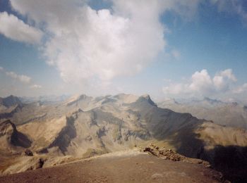
![Excursión A pie Muntogna da Schons - Mursenas-Beverin Lucke-Piz Beverin-Beverin Pintg-Mursenas - Photo](https://media.geolcdn.com/t/350/260/82ade49d-04cb-4ec0-b35f-62d4a74f89b8.jpeg&format=jpg&maxdim=2)
![A pie A pie](https://static1.geolcdn.com/sitytour/trail-icons/100.png)
Km
A pie
![](/images/other/stat-length.png)
![](https://static1.geolcdn.com/siteimages/upload/files/1508320355ic_sort_den_pos_24dp.png)
![](https://static1.geolcdn.com/siteimages/upload/files/1508320355ic_sort_den_neg_24dp.png)
![](https://static1.geolcdn.com/siteimages/upload/files/16400158638029165_repeat_loop_refresh_sync_direction_icon.png)
• Club Alpino Italiano Sezione di SEREGNO
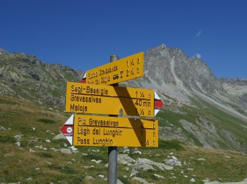
![Excursión A pie Surses - Julier, La Veduta-Furcia Grevasalvas-Plaun da Lej - Photo](https://media.geolcdn.com/t/350/260/ca67eb6c-c72b-425f-a9fb-093806c9ec93.jpeg&format=jpg&maxdim=2)
![A pie A pie](https://static1.geolcdn.com/sitytour/trail-icons/100.png)
Km
A pie
![](/images/other/stat-length.png)
![](https://static1.geolcdn.com/siteimages/upload/files/1508320355ic_sort_den_pos_24dp.png)
![](https://static1.geolcdn.com/siteimages/upload/files/1508320355ic_sort_den_neg_24dp.png)
![](https://static1.geolcdn.com/siteimages/upload/files/16400158638029165_repeat_loop_refresh_sync_direction_icon.png)
• Club Alpino Italiano Sezione di SEREGNO
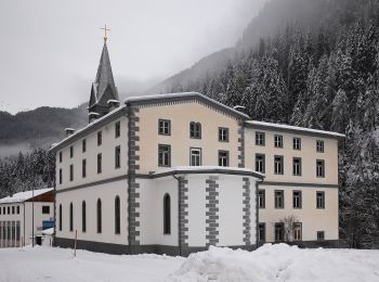
![Excursión A pie Valsot - Martina - Alp Tea - Photo](https://media.geolcdn.com/t/350/260/b80a892d-1ad2-4a1d-a196-1522f1d55134.jpeg&format=jpg&maxdim=2)
![A pie A pie](https://static1.geolcdn.com/sitytour/trail-icons/100.png)
Km
A pie
![](/images/other/stat-length.png)
![](https://static1.geolcdn.com/siteimages/upload/files/1508320355ic_sort_den_pos_24dp.png)
![](https://static1.geolcdn.com/siteimages/upload/files/1508320355ic_sort_den_neg_24dp.png)
![](https://static1.geolcdn.com/siteimages/upload/files/16400158638029165_repeat_loop_refresh_sync_direction_icon.png)
• Martina - Alp Tea Symbol: weiss-rot-weiss
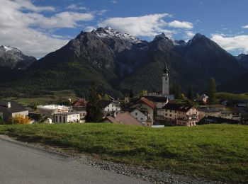
![Excursión A pie Scuol - Prui - Ftan - Photo](https://media.geolcdn.com/t/350/260/6eaa3006-dc41-4ff3-944c-454f84f66208.jpeg&format=jpg&maxdim=2)
![A pie A pie](https://static1.geolcdn.com/sitytour/trail-icons/100.png)
Km
A pie
![](/images/other/stat-length.png)
![](https://static1.geolcdn.com/siteimages/upload/files/1508320355ic_sort_den_pos_24dp.png)
![](https://static1.geolcdn.com/siteimages/upload/files/1508320355ic_sort_den_neg_24dp.png)
![](https://static1.geolcdn.com/siteimages/upload/files/16400158638029165_repeat_loop_refresh_sync_direction_icon.png)
• Symbol: weiss-rot-weiss
![Excursión A pie Scuol - Chaposch - Gurlaina - Photo](https://media.geolcdn.com/t/350/260/04614ac6-9810-4a45-a5c1-b2f3f211d1cb.jpeg&format=jpg&maxdim=2)
![A pie A pie](https://static1.geolcdn.com/sitytour/trail-icons/100.png)
Km
A pie
![](/images/other/stat-length.png)
![](https://static1.geolcdn.com/siteimages/upload/files/1508320355ic_sort_den_pos_24dp.png)
![](https://static1.geolcdn.com/siteimages/upload/files/1508320355ic_sort_den_neg_24dp.png)
![](https://static1.geolcdn.com/siteimages/upload/files/16400158638029165_repeat_loop_refresh_sync_direction_icon.png)
• Chaposch - Gurlaina Symbol: gelber Diamant
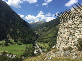
![Excursión A pie Zernez - Susch - Lavin - Photo](https://media.geolcdn.com/t/350/260/1cb639a3-6b7c-46db-aeb8-a86f0fb1c87e.jpeg&format=jpg&maxdim=2)
![A pie A pie](https://static1.geolcdn.com/sitytour/trail-icons/100.png)
Km
A pie
![](/images/other/stat-length.png)
![](https://static1.geolcdn.com/siteimages/upload/files/1508320355ic_sort_den_pos_24dp.png)
![](https://static1.geolcdn.com/siteimages/upload/files/1508320355ic_sort_den_neg_24dp.png)
![](https://static1.geolcdn.com/siteimages/upload/files/16400158638029165_repeat_loop_refresh_sync_direction_icon.png)
• Susch - Lavin Symbol: gelber Diamant
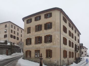
![Excursión A pie Zernez - Lavin - Sur En - Photo](https://media.geolcdn.com/t/350/260/d96577e4-17c7-4ed7-a47f-fa57db15253d.jpeg&format=jpg&maxdim=2)
![A pie A pie](https://static1.geolcdn.com/sitytour/trail-icons/100.png)
Km
A pie
![](/images/other/stat-length.png)
![](https://static1.geolcdn.com/siteimages/upload/files/1508320355ic_sort_den_pos_24dp.png)
![](https://static1.geolcdn.com/siteimages/upload/files/1508320355ic_sort_den_neg_24dp.png)
![](https://static1.geolcdn.com/siteimages/upload/files/16400158638029165_repeat_loop_refresh_sync_direction_icon.png)
• Lavin - Sur En Symbol: gelber Diamant
20 excursiones mostradas en 305
Aplicación GPS de excursión GRATIS