Trail Walking Tineo - 022 Obona - Berducedo - Photo

022 Obona - Berducedo

 Bonsaicd
Bonsaicd

User

© OpenStreetMap contributors
Length
Length
37 km
Max alt
Max alt
1226 m
Uphill gradient
Uphill gradient
1247 m
Km-Effort
Km-Effort  
53 km
Min alt
Min alt
578 m
Downhill gradient
Downhill gradient
1033 m
Boucle
Boucle
No
Creation date :
2019-01-15 12:35:40.287
Updated on :
2019-01-15 12:35:40.287

(0 Reviews)

Walking
Walking
11h21
Difficulty : Very difficult

Scan this QR Code to open this trail in the SityTrail application

FREE GPS app for hiking

Logo SityTrail SityTrail

IGN / Geographical institutes

Download SityTrail from the App Store Download SityTrail from Google Play

Logo SityTrail SityTrail World

The world is yours!

Download SityTrail from the App Store Download SityTrail from Google Play Download SityTrail on Huawei AppGallery

About

Trail Walking of 37 km to be discovered at Asturias, Asturias, Tineo. This trail is proposed by Bonsaicd.

Description

Auberg. Mun. 985.929.325 - 985.807.804

Elevation profile

Points of interest

Point of interest Allande - Auberge Municipale - Photo
Bonsaicd

Positioning

Country:
Spain
Region :
Asturias
Department/Province :
Asturias
Municipality :
Tineo
Location:
Unknown
Start:(UTM)
704275 ; 4802040 (29T) N.

Trails nearby

Trail Walking Tineo - Campiello  - la Espina - Photo
Walking
dagobert5612

Walking

Easy
Tineo, Asturias, Asturias, Spain
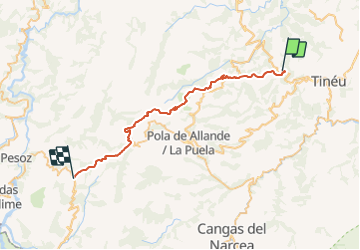
26 km | 36 km-effort
8h 18min
No


Close
My subscriptions