11.5 km | 16.1 km-effort
81_Tonnac_longue_reco
jab31
User
Length
18.5 km
Max alt
369 m
Uphill gradient
440 m
Km-Effort
24 km
Min alt
171 m
Downhill gradient
442 m
Boucle
Yes
Creation date :
2019-01-06 17:09:54.953
Updated on :
2019-01-07 08:47:02.579
4h32
Difficulty : Medium
FREE GPS app for hiking
About
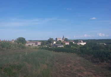
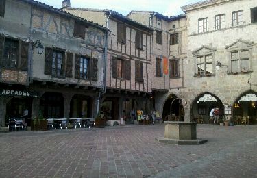
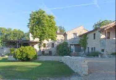
Trail Walking of 18.5 km to be discovered at Occitania, Tarn, Tonnac. This trail is proposed by jab31.
Description
dunes rouges de Maraval
Positioning
Country:
France
Region :
Occitania
Department/Province :
Tarn
Municipality :
Tonnac
Location:
Unknown
Start:(Dec)
Start:(UTM)
409367 ; 4879556 (31T) N.
Comments
Trails nearby
Campagnac-Itzac
Walking
Medium
Campagnac,
Occitania,
Tarn,
France
12.2 km | 16.2 km-effort
3h 26min
Yes
roussayrolles laussiere
Walking
Medium
Roussayrolles,
Occitania,
Tarn,
France
9.6 km | 12.8 km-effort
3h 14min
Yes
Aveyron-121010 - Amarens-Castelnau (txt,gps,foto)
Walking
Very easy
Amarens,
Occitania,
Tarn,
France
22 km | 27 km-effort
7h 56min
No
Campagnac - Itzac
Walking
Difficult
Campagnac,
Occitania,
Tarn,
France
12.4 km | 16.4 km-effort
3h 43min
Yes
vindrac gare tonnac
Walking
Easy
Vindrac-Alayrac,
Occitania,
Tarn,
France
6.4 km | 9.2 km-effort
1h 38min
No