


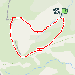

20 km | 36 km-effort


User


FREE GPS app for hiking
 SityTrail
IGN / Geographical institutes
SityTrail World
The world is yours!
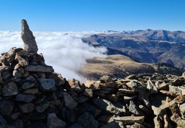
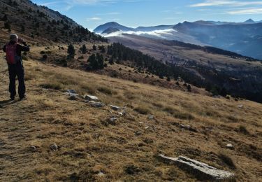
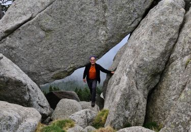
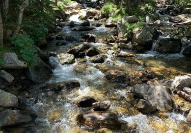
Trail Walking of 10 km to be discovered at Occitania, Pyrénées-Orientales, Py. This trail is proposed by MarieFrancoise.
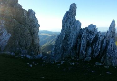
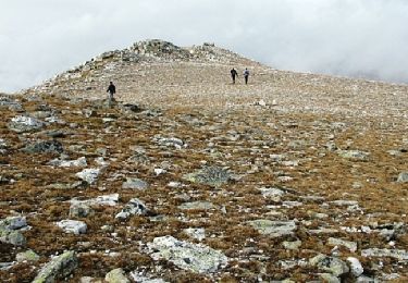
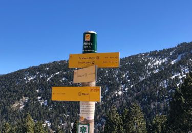
départ du refuge Da Silva .la piste est ouverte exceptionnellement le jour de la transhumance des chevaux .
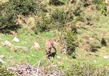
très jolie rando


Walking
Walking

Snowshoes
Walking
Walking
Walking
Walking
Walking
Walking