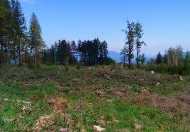
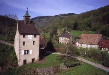
14.1 km | 21 km-effort
67 Sentier vestiges 1914 - 1918
LUTZMarc
User
Length
19 km
Max alt
1004 m
Uphill gradient
805 m
Km-Effort
30 km
Min alt
634 m
Downhill gradient
796 m
Boucle
Yes
Creation date :
2019-01-15 12:13:11.499
Updated on :
2019-01-15 12:13:11.499
4h55
Difficulty : Medium
FREE GPS app for hiking
About
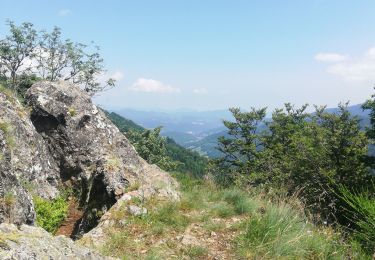
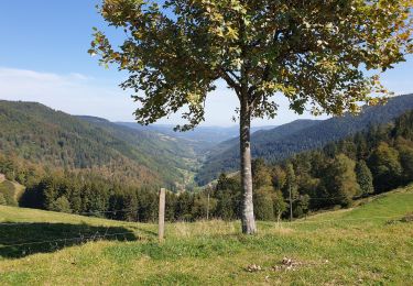
Trail Walking of 19 km to be discovered at Grand Est, Vosges, Gemaingoutte. This trail is proposed by LUTZMarc.
Description
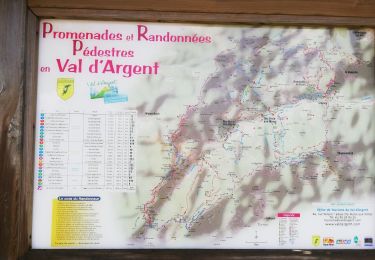
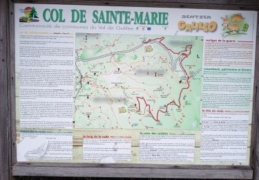
Depart au col de Sainte Marie aux mines.
**
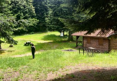
Positioning
Country:
France
Region :
Grand Est
Department/Province :
Vosges
Municipality :
Gemaingoutte
Location:
Unknown
Start:(Dec)
Start:(UTM)
361275 ; 5344965 (32U) N.
Comments
Trails nearby
2020-06-20 Marche Tete du Violu Col de Ste Marie
Walking
Very easy
Sainte-Marie-aux-Mines,
Grand Est,
Haut-Rhin,
France
4h 14min
Yes
20130508
Walking
Very easy
(1)
Ban-de-Laveline,
Grand Est,
Vosges,
France
7.6 km | 11.1 km-effort
2h 19min
Yes
ACPL Ban de laveline yoigo
Horseback riding
Easy
Ban-de-Laveline,
Grand Est,
Vosges,
France
13 km | 18.9 km-effort
2h 29min
Yes
rocher des chèvred
Walking
Difficult
(2)
Sainte-Marie-aux-Mines,
Grand Est,
Haut-Rhin,
France
8.9 km | 13.3 km-effort
2h 40min
Yes
col Sainte Marie aux mines
Walking
Very difficult
Gemaingoutte,
Grand Est,
Vosges,
France
14.5 km | 22 km-effort
4h 20min
Yes
Crête granitique et forêts profondes
Walking
Medium
Sainte-Marie-aux-Mines,
Grand Est,
Haut-Rhin,
France
13.7 km | 22 km-effort
3h 56min
Yes
Col de Ste Marie aux Mines (27/8/2020)
Walking
Medium
Sainte-Marie-aux-Mines,
Grand Est,
Haut-Rhin,
France
18.3 km | 29 km-effort
5h 4min
Yes
col Ste Marie aux Mines / Point de vue Soremont / Tête du Violu
Nordic walking
Medium
Sainte-Marie-aux-Mines,
Grand Est,
Haut-Rhin,
France
14.4 km | 21 km-effort
3h 23min
Yes
Espace VTT FFC Val d'Argent - Circuit n°17 - Les Mines d'Argent
Mountain bike
Medium
Sainte-Marie-aux-Mines,
Grand Est,
Haut-Rhin,
France
12.5 km | 17.6 km-effort
1h 0min
Yes