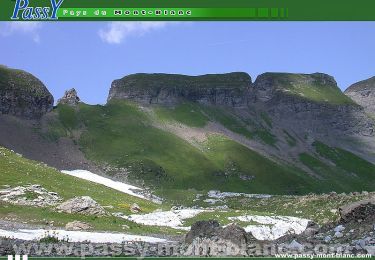
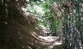
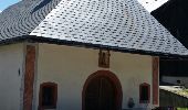
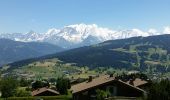
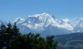
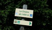
Trail Walking Combloux - COMBLOUX (Vers le Châble). - Photo

COMBLOUX (Vers le Châble).

© OpenStreetMap contributors
Length
Length
11.8 km
Max alt
Max alt
1481 m
Uphill gradient
Uphill gradient
531 m
Km-Effort
Km-Effort  
18.9 km
Min alt
Min alt
974 m
Downhill gradient
Downhill gradient
529 m
Boucle
Boucle
Yes
Creation date :
2018-08-19 07:27:11.913
Updated on :
2018-08-19 07:27:11.913

(1 Reviews)

Walking
Walking
3h53
Difficulty : Medium

Scan this QR Code to open this trail in the SityTrail application

FREE GPS app for hiking

Logo SityTrail SityTrail
IGN / Geographical institutes

Download SityTrail from the App Store Download SityTrail from Google Play

Logo SityTrail SityTrail World
The world is yours!

Download SityTrail from the App Store Download SityTrail from Google Play Download SityTrail on Huawei AppGallery

About

Trail Walking of 11.8 km to be discovered at Auvergne-Rhône-Alpes, Upper Savoy, Combloux. This trail is proposed by GerardBouche.

Description

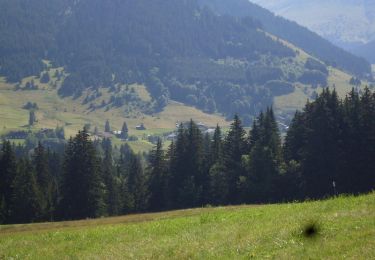
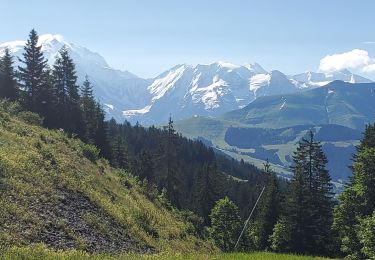
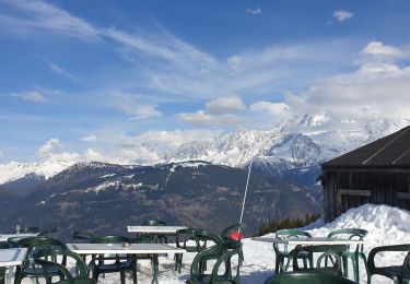
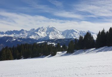
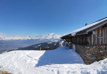
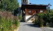
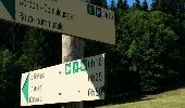
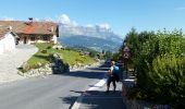
Très belle rando par La Côte, Montavus, les Lovatières jusqu'au lieu dit "le Châble " ... la montée est raide mais un magnifique point de vue sur le Mt-Blanc  vous attends !. La descente par le Châble d'en Bas, le Cuchet et la ferme pédagogique dans le très beau quartier de l'Ormaret.

Elevation profile

Photos

Positioning

Country:
France
Region :
Auvergne-Rhône-Alpes
Department/Province :
Upper Savoy
Municipality :
Combloux
Location:
Unknown
Start:(UTM)
317319 ; 5085089 (32T) N.

Comments

Please log in to post a review or rate the element


Trails nearby

Trail Walking Passy - Tour de la chaine des Fiz par le passage du Dérochoir - Photo
Walking
tracegps

Walking

Very difficult
(2)
Passy, Auvergne-Rhône-Alpes, Upper Savoy, France
47 km | 90 km-effort
18h 0min
Yes
Trail Mountain bike Megève - Megeve La Rochebrune - Photo
Mountain bike
tracegps

Mountain bike

Difficult
(1)
Megève, Auvergne-Rhône-Alpes, Upper Savoy, France
22 km | 34 km-effort
3h 15min
Yes
Trail Walking Saint-Gervais-les-Bains - M_VEROCE 74190 Pavillon du Joly - Photo
Walking
ANDREJAC

Walking

Medium
(1)
Saint-Gervais-les-Bains, Auvergne-Rhône-Alpes, Upper Savoy, France
5.9 km | 10.7 km-effort
2h 25min
Yes
Trail Walking Megève - croisse baulet 1090m 17kms  - Photo
Walking
GUIDE
Danielba

Walking

Difficult
Megève, Auvergne-Rhône-Alpes, Upper Savoy, France
16.3 km | 30 km-effort
8h 17min
Yes
Trail Snowshoes Cordon - Cordon raquettes 23/01/24 - Photo
Snowshoes
janussity

Snowshoes

Difficult
Cordon, Auvergne-Rhône-Alpes, Upper Savoy, France
7 km | 14.1 km-effort
2h 40min
Yes
Trail Snowshoes Demi-Quartier - Combafort Combloux vers Mt d'Arbois - Photo
Snowshoes
janussity

Snowshoes

Difficult
Demi-Quartier, Auvergne-Rhône-Alpes, Upper Savoy, France
9.6 km | 17.6 km-effort
3h 7min
Yes
Trail Touring skiing Combloux - Combloux Croix de Sales - Photo
Touring skiing
janussity

Touring skiing

Medium
Combloux, Auvergne-Rhône-Alpes, Upper Savoy, France
8.1 km | 15.1 km-effort
1h 46min
No
Trail Walking Megève - Megeve - Photo
Walking
Belphime

Walking

Medium
Megève, Auvergne-Rhône-Alpes, Upper Savoy, France
7.4 km | 9.8 km-effort
2h 13min
Yes
Trail Touring skiing Cordon - croisse baulet petit et grand - Photo
Touring skiing
GUIDE
nadd73

Touring skiing

Easy
Cordon, Auvergne-Rhône-Alpes, Upper Savoy, France
11.7 km | 28 km-effort
4h 2min
Yes


Close
My subscriptions