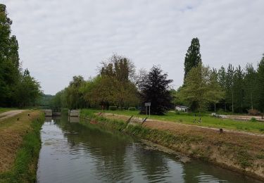
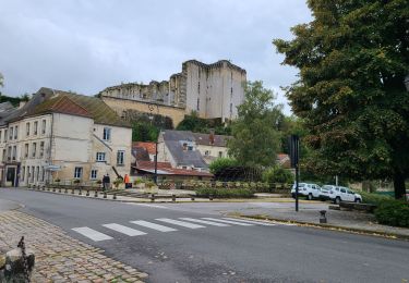
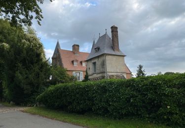
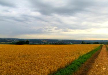
Trail Walking La Ferté-Milon - La Ferté Milon - Photo
 vitius
vitius

User

© OpenStreetMap contributors
Length
Length
10 km
Max alt
Max alt
139 m
Uphill gradient
Uphill gradient
138 m
Km-Effort
Km-Effort  
11.8 km
Min alt
Min alt
65 m
Downhill gradient
Downhill gradient
138 m
Boucle
Boucle
Yes
Creation date :
2019-05-07 16:39:08.257
Updated on :
2019-05-07 16:39:08.713

(0 Reviews)

Walking
Walking
2h35
Difficulty : Easy

Scan this QR Code to open this trail in the SityTrail application

FREE GPS app for hiking

Logo SityTrail SityTrail

IGN / Geographical institutes

Download SityTrail from the App Store Download SityTrail from Google Play

Logo SityTrail SityTrail World

The world is yours!

Download SityTrail from the App Store Download SityTrail from Google Play Download SityTrail on Huawei AppGallery

About

Trail Walking of 10 km to be discovered at Hauts-de-France, Aisne, La Ferté-Milon. This trail is proposed by vitius.

Description

La Ferté Milon - Silly - La Ferté Milon

Elevation profile

Points of interest

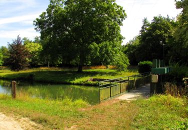
Point of interest La Ferté-Milon - Gare de La Ferté-Milon - Photo
vitius
LA FERTÉ-MILON 
Point of interest La Ferté-Milon - Rue de Bourq - Photo
vitius
LA FERTÉ-MILON 
Point of interest La Ferté-Milon - Carrefour de l'Étang - Photo
vitius
LA FERTÉ-MILON 
Point of interest Silly-la-Poterie - Monument - Photo
vitius
SILLY-LA-POTERIE 
Point of interest Oigny-en-Valois - Entrée du château - Photo
vitius
OIGNY-EN-VALOIS 
Point of interest Silly-la-Poterie - Port aux Perches - Photo
vitius
SILLY-LA-POTERIE 
Point of interest La Ferté-Milon - Écluse de la Ferté-Milon - Photo
vitius

Positioning

Country:
France
Region :
Hauts-de-France
Department/Province :
Aisne
Municipality :
La Ferté-Milon
Location:
Unknown
Start:(UTM)
508812 ; 5447402 (31U) N.

Trails nearby

Trail Walking Marolles - Marolles du 25/05/2019 - Photo
Walking
GUIDE
VANDERPUTTENMi

Walking

Very easy
Marolles, Hauts-de-France, Oise, France
9.3 km | 11.1 km-effort
2h 18min
Yes
Trail Walking La Ferté-Milon - La Ferte Milon le 26/09/2024 - Photo
Walking
GUIDE
VANDERPUTTENMi

Walking

Medium
La Ferté-Milon, Hauts-de-France, Aisne, France
9.3 km | 11 km-effort
2h 30min
Yes
Trail Walking Villers-Cotterêts - maison forestière de mortefert > (vers) billemont > (vers) villers cotteret - (vers) baisemont > maison forestière de mortefert - Photo
Walking
DA FT

Walking

Medium
Villers-Cotterêts, Hauts-de-France, Aisne, France
16.8 km | 20 km-effort
4h 36min
Yes
Trail Walking Oigny-en-Valois - en forêt de Retz_86_les Laies de la Poudrerie et de la Fosse aux Demoiselles - Photo
Walking

Walking

Difficult
Oigny-en-Valois, Hauts-de-France, Aisne, France
12.3 km | 15.1 km-effort
3h 44min
Yes
Trail Walking Villers-Cotterêts - en forêt de Retz_85_le Buisson de la Queue d'Ham - Photo
Walking

Walking

Very difficult
Villers-Cotterêts, Hauts-de-France, Aisne, France
11.4 km | 14 km-effort
3h 13min
Yes
Trail Walking Oigny-en-Valois - en forêt de Retz_81_vers les étangs de Bourcq et sur le GR11 - Photo
Walking

Walking

Very difficult
Oigny-en-Valois, Hauts-de-France, Aisne, France
18.2 km | 23 km-effort
5h 59min
Yes
Trail Walking La Ferté-Milon - en forêt de Retz_64_un grand tour autour de Bourgfontaine - Photo
Walking

Walking

Difficult
La Ferté-Milon, Hauts-de-France, Aisne, France
22 km | 27 km-effort
6h 18min
Yes
Trail Walking Oigny-en-Valois - en forêt de Retz_61_Oigny en Valois_les bordures de la route de Hauwison_AR - Photo
Walking

Walking

Very difficult
Oigny-en-Valois, Hauts-de-France, Aisne, France
16.2 km | 19.9 km-effort
4h 56min
No
Trail Walking La Ferté-Milon - en forêt de Retz_55_le bois de Borny - Photo
Walking

Walking

Medium
(1)
La Ferté-Milon, Hauts-de-France, Aisne, France
12 km | 14.4 km-effort
3h 25min
Yes


Close
My subscriptions