


22 km | 34 km-effort

User


FREE GPS app for hiking
 SityTrail
IGN / Geographical institutes
SityTrail World
The world is yours!
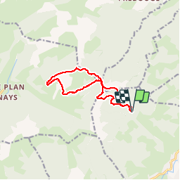
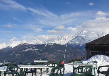
Trail Walking of 12 km to be discovered at Auvergne-Rhône-Alpes, Upper Savoy, Megève. This trail is proposed by GerardBouche.
Depuis le P du " Ball Trap " une superbe randonnée par le sentier du " Tetras-Lyre", le Col de J'aillet et le "Petit Croisse Baulet (alt. 2009 m). La descente par un très beau sentier à flanc de montagne dans les parterres de rhododendrons, myrtilliers, trolls et les alpages de Ramadieu !
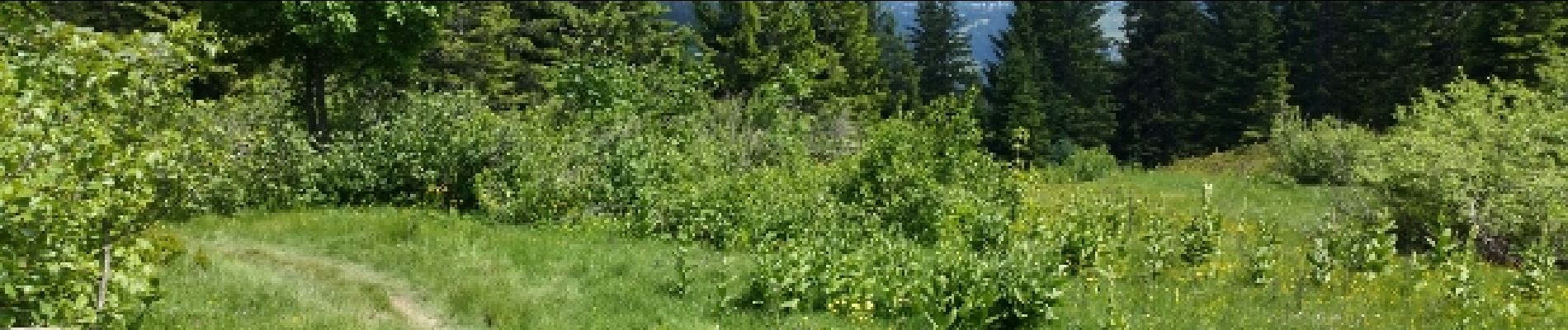
 - Photo 1")
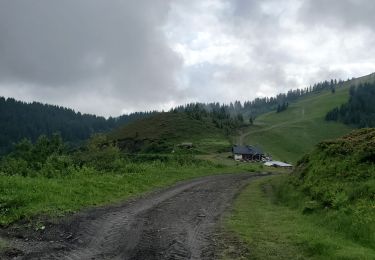
 - Photo 2")
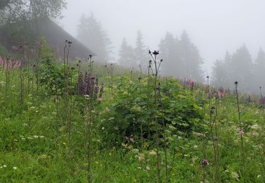
 - Photo 3")
 - Photo 4")
 - Photo 5")
 - Photo 6")
 - Photo 7")

Mountain bike

Walking

Touring skiing

Walking

Other activity

Walking
Walking
Walking
Snowshoes