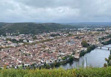
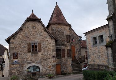
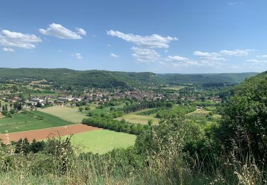
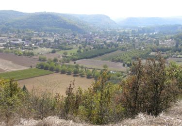
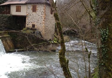
27 km | 34 km-effort
Compostelle 7 GR6
Landreger
User
Length
57 km
Max alt
557 m
Uphill gradient
1074 m
Km-Effort
71 km
Min alt
141 m
Downhill gradient
1123 m
Boucle
No
Creation date :
2014-12-10 00:00:00.0
Updated on :
2014-12-10 00:00:00.0
--
Difficulty : Easy
FREE GPS app for hiking
About
Trail Walking of 57 km to be discovered at Occitania, Lot, Figeac. This trail is proposed by Landreger.
Description
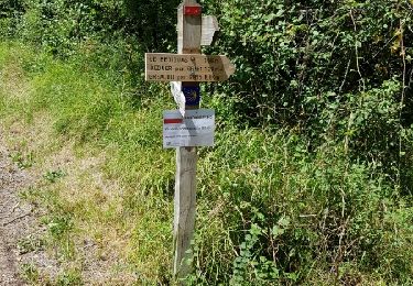
Randonnée avec le GR6 de Figeac à Rocamadour à travers le Lot.
Positioning
Country:
France
Region :
Occitania
Department/Province :
Lot
Municipality :
Figeac
Location:
Unknown
Start:(Dec)
Start:(UTM)
422991 ; 4940143 (31T) N.
Comments
Trails nearby
La vallée du Célé
Walking
Very difficult
Faycelles,
Occitania,
Lot,
France
111 km | 153 km-effort
35h 59min
No
Étape Faycelle St Sulpice
Walking
Difficult
Faycelles,
Occitania,
Lot,
France
28 km | 37 km-effort
7h 46min
No
Etape13 Figeac a Carjac
Walking
Difficult
Figeac,
Occitania,
Lot,
France
32 km | 42 km-effort
7h 40min
No
CC_Velay_CC_12_Figeac_Cajarc_20071103
Walking
Medium
(1)
Figeac,
Occitania,
Lot,
France
30 km | 39 km-effort
7h 0min
No
Mon Compostelle sixième étape
Walking
Difficult
Faycelles,
Occitania,
Lot,
France
43 km | 55 km-effort
9h 40min
No
La Cazelle-Camburat-Mouret-La Cazelle
Equestrian
Easy
(1)
Lissac-et-Mouret,
Occitania,
Lot,
France
13.9 km | 17.5 km-effort
2h 43min
Yes
capdenac
Mountain bike
Medium
(1)
Capdenac-Gare,
Occitania,
Aveyron,
France
34 km | 45 km-effort
4h 13min
Yes
20240418 Figeac (hôtel les Bains)-Rian (les ânes du Célé)
sport
Very easy
Figeac,
Occitania,
Lot,
France
24 km | 31 km-effort
Unknown
No