


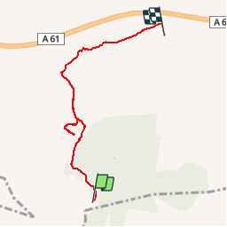

13.6 km | 21 km-effort


User


FREE GPS app for hiking
 SityTrail
IGN / Geographical institutes
SityTrail World
The world is yours!
Trail Walking of 5.7 km to be discovered at Occitania, Aude, Moux. This trail is proposed by patetl.
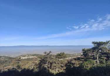
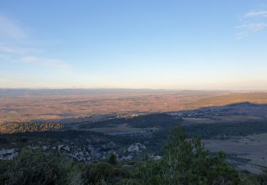
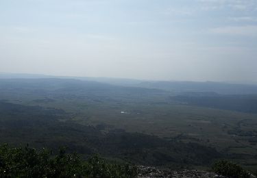
signal d alaric par gr77 en montant et pr en descendant
Walking

Walking

Walking


Walking
Running

Mountain bike

Walking