


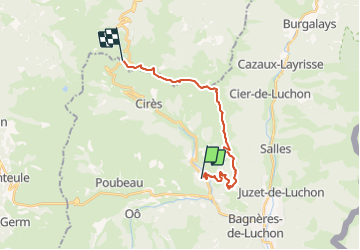

7.1 km | 12.5 km-effort


User


FREE GPS app for hiking
 SityTrail
IGN / Geographical institutes
SityTrail World
The world is yours!
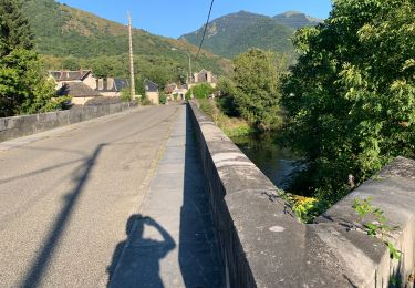
Trail Other activity of 18.8 km to be discovered at Occitania, Haute-Garonne, Benque-Dessous-et-Dessus. This trail is proposed by rouky.
Benqué -Port de balès

Snowshoes

Walking
Walking

Walking

Walking

Walking
Walking
Walking
Walking