


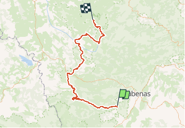

65 km | 93 km-effort


User


FREE GPS app for hiking
 SityTrail
IGN / Geographical institutes
SityTrail World
The world is yours!
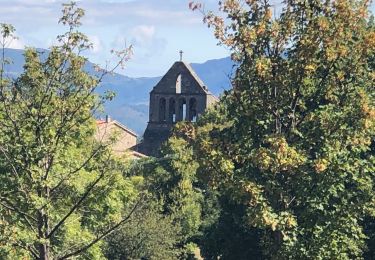
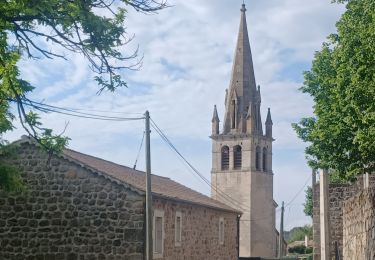
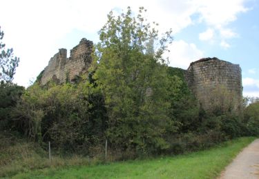
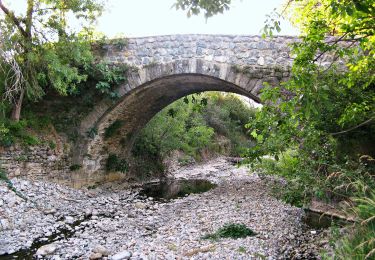
Trail Cycle of 112 km to be discovered at Auvergne-Rhône-Alpes, Ardèche, Rocher. This trail is proposed by Lucquiaud.
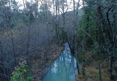
circuit 3 jours le Tanargue - Lignon
partie 2 Roche / les Estables
Mountain bike
Walking
Walking
Walking
Walking
Road bike
Walking
Walking
On foot