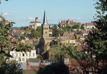
29 km | 36 km-effort
LUGNY LES CHAROLLES
Bret
User
Length
10.3 km
Max alt
343 m
Uphill gradient
197 m
Km-Effort
12.9 km
Min alt
278 m
Downhill gradient
191 m
Boucle
Yes
Creation date :
2018-06-26 16:55:35.907
Updated on :
2018-06-26 16:55:35.907
2h47
Difficulty : Medium
FREE GPS app for hiking
About
Trail Walking of 10.3 km to be discovered at Bourgogne-Franche-Comté, Saône-et-Loire, Lugny-lès-Charolles. This trail is proposed by Bret.
Positioning
Country:
France
Region :
Bourgogne-Franche-Comté
Department/Province :
Saône-et-Loire
Municipality :
Lugny-lès-Charolles
Location:
Unknown
Start:(Dec)
Start:(UTM)
592963 ; 5140434 (31T) N.
Comments
Trails nearby
Randonnée VTT organisée par l'Office de Tourisme de Paray-le-Monial - Nochize
Mountain bike
Medium
Nochize,
Bourgogne-Franche-Comté,
Saône-et-Loire,
France
2h 40min
Yes
5ème Marche du Boeuf 2012 VTT 25km - Charolles
Mountain bike
Medium
Charolles,
Bourgogne-Franche-Comté,
Saône-et-Loire,
France
28 km | 34 km-effort
2h 30min
Yes
Lugny les charolles voie ferrée
Walking
Hautefond,
Bourgogne-Franche-Comté,
Saône-et-Loire,
France
1.8 km | 2 km-effort
1h 6min
Yes
changy tourny
Walking
Very difficult
(1)
Changy,
Bourgogne-Franche-Comté,
Saône-et-Loire,
France
19.1 km | 24 km-effort
5h 33min
Yes
Nochize 20km GRS Chauffailles 05/ 12 / 23
On foot
Medium
Nochize,
Bourgogne-Franche-Comté,
Saône-et-Loire,
France
20 km | 26 km-effort
5h 49min
Yes
Nochize en automne
On foot
Medium
Nochize,
Bourgogne-Franche-Comté,
Saône-et-Loire,
France
23 km | 28 km-effort
6h 17min
Yes
12/11/22
Walking
Easy
Champlecy,
Bourgogne-Franche-Comté,
Saône-et-Loire,
France
2.9 km | 3.2 km-effort
2h 49min
No
essai
Walking
Easy
Hautefond,
Bourgogne-Franche-Comté,
Saône-et-Loire,
France
5.8 km | 6.6 km-effort
1h 40min
Yes