4.2 km | 6.8 km-effort
Col d'Andorre
almitpau
User
Length
8.3 km
Max alt
1453 m
Uphill gradient
418 m
Km-Effort
13.8 km
Min alt
1061 m
Downhill gradient
419 m
Boucle
Yes
Creation date :
2019-01-10 12:16:31.878
Updated on :
2019-01-10 12:16:31.878
4h00
Difficulty : Easy
FREE GPS app for hiking
About
Trail Walking of 8.3 km to be discovered at Occitania, Hautespyrenees, Salles. This trail is proposed by almitpau.
Description
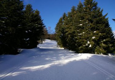
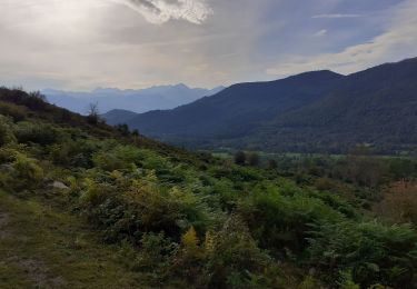
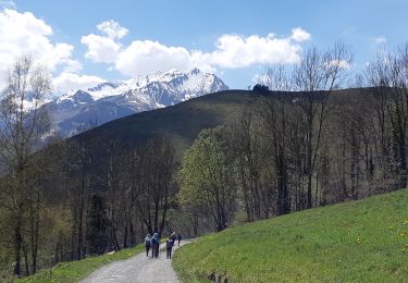
Randonnée facile avec, au bout, des superbes vues aussi bien vers le sud et les montagnes que vers le Nord et la plaine.
Positioning
Country:
France
Region :
Occitania
Department/Province :
Hautespyrenees
Municipality :
Salles
Location:
Unknown
Start:(Dec)
Start:(UTM)
729831 ; 4767126 (30T) N.
Comments
Trails nearby
la fontaine de Nabias
Walking
Very easy
(1)
Arcizans-Dessus,
Occitania,
Hautespyrenees,
France
1h 40min
Yes
Le Soum de Berducou
Snowshoes
Medium
(1)
Aucun,
Occitania,
Hautespyrenees,
France
5.3 km | 9.6 km-effort
3h 15min
Yes
GAILLAGOS / Couret / Couraduque en boucle reco G3
Walking
Difficult
Gaillagos,
Occitania,
Hautespyrenees,
France
8.4 km | 14.3 km-effort
2h 30min
Yes
SALLES Le col d'Andorre avec nos voisins pierrefittois
Walking
Difficult
Salles,
Occitania,
Hautespyrenees,
France
7.5 km | 13.2 km-effort
2h 52min
Yes
SALLES-ARGELES col d'Andorre et soum de Leiz (ou pas) 2796042
On foot
Easy
Salles,
Occitania,
Hautespyrenees,
France
8.2 km | 14 km-effort
3h 10min
Yes
Escala du Prat du Rey
Walking
Medium
(1)
Salles,
Occitania,
Hautespyrenees,
France
11.3 km | 22 km-effort
4h 24min
Yes
couraduc soulor
Winter sports
Difficult
(1)
Aucun,
Occitania,
Hautespyrenees,
France
34 km | 45 km-effort
2h 31min
Yes
Bazes soulor
Winter sports
Medium
(1)
Aucun,
Occitania,
Hautespyrenees,
France
25 km | 34 km-effort
2h 4min
Yes
GAILLAGOS Col de Couret Couraduque en boucle G3 du 21/04/2023"3630206"
Walking
Difficult
Gaillagos,
Occitania,
Hautespyrenees,
France
8.2 km | 14.2 km-effort
2h 46min
Yes