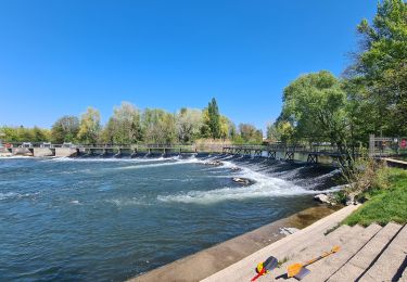
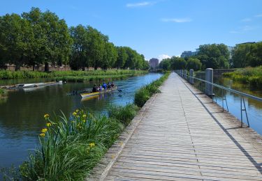
8 km | 9.2 km-effort
Strasbourg
topolino
User
Length
46 km
Max alt
155 m
Uphill gradient
294 m
Km-Effort
50 km
Min alt
124 m
Downhill gradient
295 m
Boucle
No
Creation date :
2018-06-26 16:40:59.594
Updated on :
2018-06-26 16:40:59.594
1h52
Difficulty : Easy
FREE GPS app for hiking
About
Trail Cycle of 46 km to be discovered at Grand Est, Bas-Rhin, Strasbourg. This trail is proposed by topolino.
Positioning
Country:
France
Region :
Grand Est
Department/Province :
Bas-Rhin
Municipality :
Strasbourg
Location:
Unknown
Start:(Dec)
Start:(UTM)
409683 ; 5384157 (32U) N.
Comments
Trails nearby
Histoires d'eaux.... et de forêts au nord de Strasbourg
Walking
Difficult
(1)
Strasbourg,
Grand Est,
Bas-Rhin,
France
26 km | 28 km-effort
5h 57min
Yes
Untitled
Walking
Very easy
(1)
Strasbourg,
Grand Est,
Bas-Rhin,
France
6.1 km | 7 km-effort
1h 42min
Yes
Strasbourg Krutenau Université
Walking
Medium
(1)
Strasbourg,
Grand Est,
Bas-Rhin,
France
5.3 km | 6.1 km-effort
1h 23min
Yes
Rad- und Wanderweg Kehl-Freistett
On foot
Easy
Kehl,
Baden-Württemberg,
Ortenaukreis,
Germany
17.4 km | 19.1 km-effort
4h 20min
No
Innerer Rundweg
On foot
Easy
Kehl,
Baden-Württemberg,
Ortenaukreis,
Germany
8.5 km | 9.3 km-effort
2h 7min
No
marchepop bischheim 10km 2021
Walking
Very easy
(1)
Bischheim,
Grand Est,
Bas-Rhin,
France
10.7 km | 11.8 km-effort
2h 31min
Yes
La ceinture verte de Strasbourg
Walking
Medium
Strasbourg,
Grand Est,
Bas-Rhin,
France
19.8 km | 22 km-effort
4h 6min
Yes
2022-08-25_07h47m05_Streckenplan Präsidentenwanderung über 15 km
Walking
Medium
(2)
Strasbourg,
Grand Est,
Bas-Rhin,
France
7 km | 8.4 km-effort
1h 53min
No