


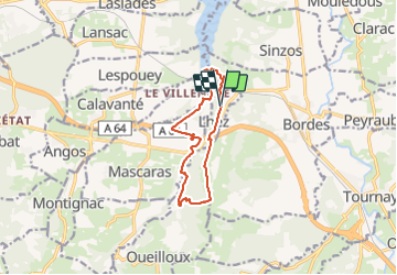


11.6 km | 14.9 km-effort


User GUIDE


FREE GPS app for hiking
 SityTrail
IGN / Geographical institutes
SityTrail World
The world is yours!
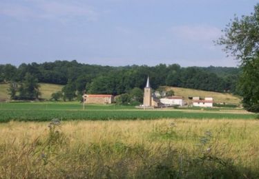
Trail Walking of 11.6 km to be discovered at Occitania, Hautespyrenees, Lhez. This trail is proposed by LouisROGER.
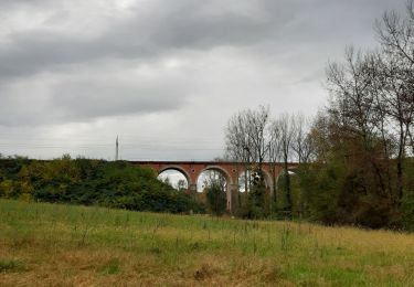
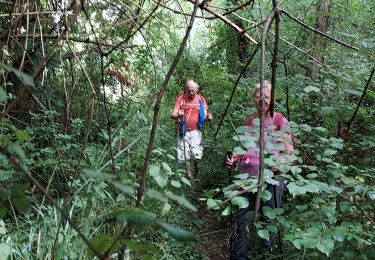
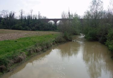
Passez sous les trois ponts du Larré Darré et après le point 5 visitez la forets inondable en haut du lac une petite Louisiane sans les alligators ....
côte abruptes ente la rivière let la crête où se perche le village de Lhez!
à faire aussi en VTT peinard en 2 heures
raccourci possible au départ en prenant à la descenteves l'est ves le point 12


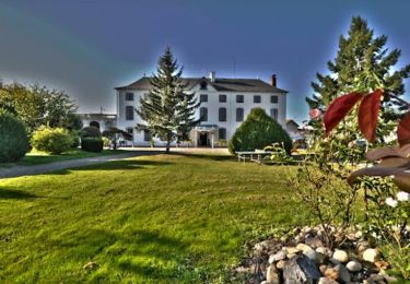
21 photos in total. Please click on a photo to see them all in the gallery.

Walking
Walking
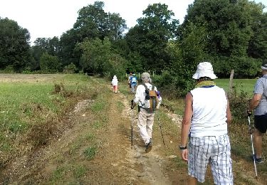
Walking
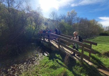
Walking
Walking
On foot
Mountain bike
Mountain bike
Mountain bike