


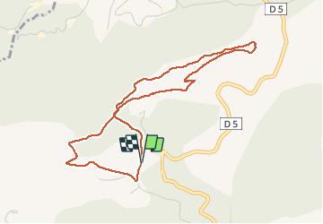


15.2 km | 22 km-effort

User


FREE GPS app for hiking
 SityTrail
IGN / Geographical institutes
SityTrail World
The world is yours!
Trail Walking of 4.7 km to be discovered at Provence-Alpes-Côte d'Azur, Alpes-de-Haute-Provence, Manosque. This trail is proposed by liocol.
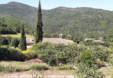
Une boucle en forêt avec de belles vues côté Lubéron et côté Manosque. Avec une jolie allée de cèdres, voir photo. Garez vous le long du chemin du Val des chats, Emplacement pour 4 voitures.


Walking

Walking

Walking

Walking
Walking
Walking
Walking
Walking
Walking