Trail Walking Pont de Montvert - Sud Mont Lozère - Sources du Tarn - Photo
© OpenStreetMap contributors
Length
Length
16.2 km
Max alt
Max alt
1678 m
Uphill gradient
Uphill gradient
402 m
Km-Effort
Km-Effort  
22 km
Min alt
Min alt
1348 m
Downhill gradient
Downhill gradient
402 m
Boucle
Boucle
Yes
Creation date :
2018-06-26 16:19:48.106
Updated on :
2018-06-26 16:19:48.106

(0 Reviews)

Walking
Walking
4h42
Difficulty : Medium

Scan this QR Code to open this trail in the SityTrail application

FREE GPS app for hiking

Logo SityTrail SityTrail

IGN / Geographical institutes

Download SityTrail from the App Store Download SityTrail from Google Play

Logo SityTrail SityTrail World

The world is yours!

Download SityTrail from the App Store Download SityTrail from Google Play Download SityTrail on Huawei AppGallery

About

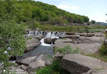
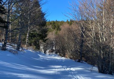
Trail Walking of 16.2 km to be discovered at Occitania, Lozère, Pont de Montvert - Sud Mont Lozère. This trail is proposed by patrando49.

Description

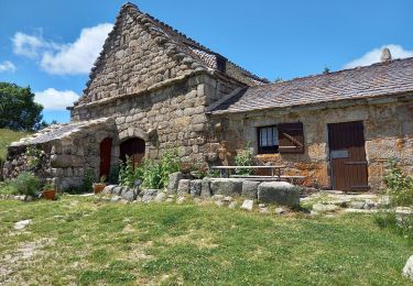
- Départ du Mas Camargues.
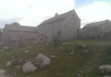
- Suivre la piste jusqu'au Mas de la Barque en passant par Bellecoste.
- Au Mas de la Barque, prendre à gauche la piste qui monte au Pic Cassini
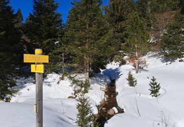
- Au Pic, suivre une sente non balisée mais assez bien marquée jusqu'au sources du Tarn
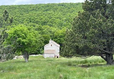
- Aux Sources, suivre le Tarn jusqu'au parking.

Elevation profile

Positioning

Country:
France
Region :
Occitania
Department/Province :
Lozère
Municipality :
Pont de Montvert - Sud Mont Lozère
Location:
Le Pont-de-Montvert
Start:(UTM)
565235 ; 4915190 (31T) N.

Trails nearby

Trail Walking Pont de Montvert - Sud Mont Lozère - Pic Cassini  - Photo
Walking
GUIDE
nadinebondoux

Walking

Medium
Pont de Montvert - Sud Mont Lozère, Occitania, Lozère, France
11.2 km | 14.8 km-effort
5h 11min
Yes
Trail Walking Pont de Montvert - Sud Mont Lozère - Sources du Tarn - Photo
Walking
GUIDE
nadinebondoux

Walking

Medium
Pont de Montvert - Sud Mont Lozère, Occitania, Lozère, France
18.2 km | 24 km-effort
5h 41min
Yes
Trail Walking Pont de Montvert - Sud Mont Lozère - Cévennes Mas Camargues Pont du Tarn - Photo
Walking
HO49

Walking

Easy
(1)
Pont de Montvert - Sud Mont Lozère, Occitania, Lozère, France
7.4 km | 8.6 km-effort
2h 7min
Yes
Trail Walking Mont Lozère et Goulet - sources du tarn - Photo
Walking
olivier78000

Walking

Medium
(1)
Mont Lozère et Goulet, Occitania, Lozère, France
13.3 km | 17.3 km-effort
3h 50min
No
Trail sport Vialas - Promenade autour du Mas de La Barque  - Photo
sport
genevieve

sport

Very easy
Vialas, Occitania, Lozère, France
6.9 km | 8.6 km-effort
Unknown
Yes
Trail sport Vialas - Le pont du Tarn - Photo
sport
genevieve

sport

Very easy
Vialas, Occitania, Lozère, France
17 km | 20 km-effort
Unknown
Yes
Trail Walking Pont de Montvert - Sud Mont Lozère - 30 pont Tarn 6 /5/24 - Photo
Walking
silvestreclaudine

Walking

Very difficult
Pont de Montvert - Sud Mont Lozère, Occitania, Lozère, France
22 km | 27 km-effort
6h 11min
Yes
Trail Walking Pont de Montvert - Sud Mont Lozère - Le Pic Cassini - Photo
Walking
GUIDE
Roger Philippe Wallez

Walking

Difficult
Pont de Montvert - Sud Mont Lozère, Occitania, Lozère, France
12.1 km | 15.7 km-effort
5h 30min
Yes
Trail Walking Vialas - Mas de la barque source du Tarn - Photo
Walking
GUIDE
Roger Philippe Wallez

Walking

Very difficult
Vialas, Occitania, Lozère, France
17.9 km | 23 km-effort
6h 24min
Yes


Close
My subscriptions