


22 km | 30 km-effort

User GUIDE


FREE GPS app for hiking
 SityTrail
IGN / Geographical institutes
SityTrail World
The world is yours!
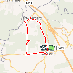
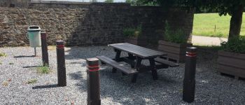
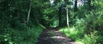
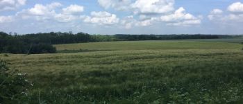
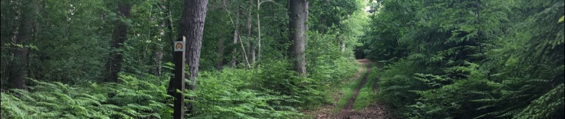
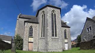
Trail Walking of 10.8 km to be discovered at Wallonia, Namur, Assesse. This trail is proposed by Desrumaux.
Agréable balade dans la belle entité d'Assesse, du village de Maillen au village de Sart-Bernard par les Fonds de Maillen, le bois de Maillen et le bois d'Arche. Attention le dernier 1,5 km emprunte inévitablement la route de Lustin (bien serrer à gauche sur l'accotement de la route).


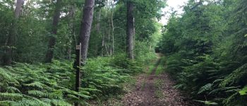
Walking

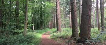
Walking

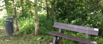
Walking

Walking

Walking

Walking

Walking

Walking

Walking