


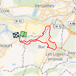


9.7 km | 11.6 km-effort

User


FREE GPS app for hiking
 SityTrail
IGN / Geographical institutes
SityTrail World
The world is yours!
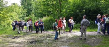
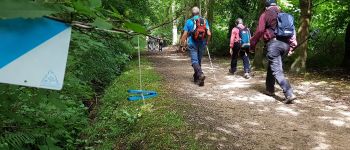
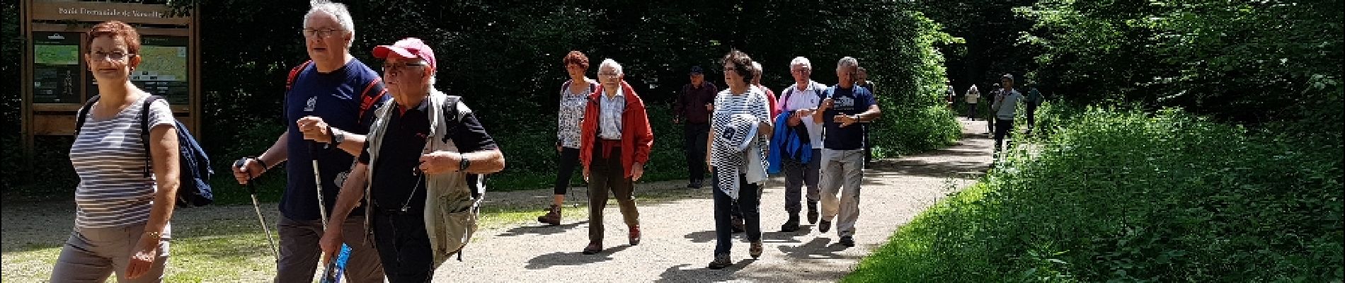
Trail Walking of 10.7 km to be discovered at Ile-de-France, Yvelines, Guyancourt. This trail is proposed by microb.
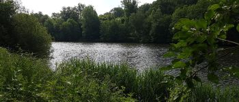
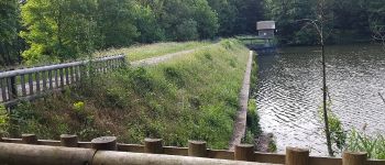
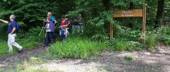
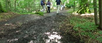
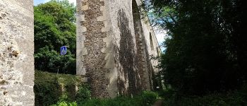
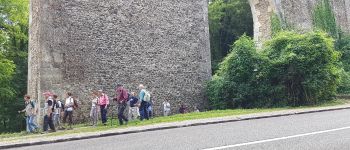
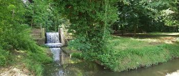
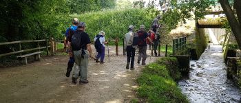
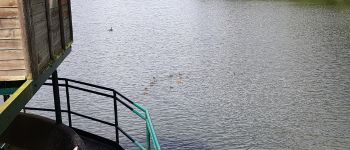
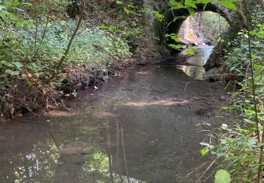
Vallée de la Bièvre : Etang de la Geneste -Buc et ses arcades - Bois des Gonards et du Cerf-Volant.


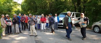
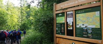
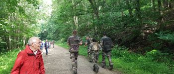
Walking

Walking

Walking

Walking

Walking

Walking

On foot
Walking

On foot