


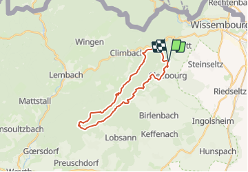

23 km | 32 km-effort


User


FREE GPS app for hiking
 SityTrail
IGN / Geographical institutes
SityTrail World
The world is yours!
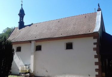
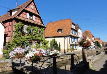
Trail Other activity of 24 km to be discovered at Grand Est, Bas-Rhin, Rott. This trail is proposed by LUTZMarc.
A travers sous bois , trés agréable quand il fait chaud.
A travers le vestige de la ligne Maginot.

Mountain bike
On foot
On foot
On foot
On foot
On foot