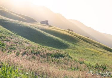

Autriche - Prenten - LärchspitzGipfel
© OpenStreetMap contributors


3h00
Difficulty : Medium


Length
4.6 km

Max alt
2118 m

Uphill gradient
900 m

Km-Effort
13.6 km

Min alt
1208 m

Downhill gradient
4 m
Boucle
No
Creation date :
2014-12-10 00:00:00.0
Updated on :
2014-12-10 00:00:00.0
3h00
Difficulty : Medium

FREE GPS app for hiking
About
Trail Snowshoes of 4.6 km to be discovered at Tyrol, Bezirk Reutte, Gemeinde Steeg. This trail is proposed by michel.heusschen@skynet.be.
Description
Rando à ski.
Très sympa lorsque bien enneigé. Montée (et descente) à travers bois par toujours facile lorsque sans traces. Quelques passages raides dans les bois.
3h pour la montée.
1h30 pour la descente.
Positioning
Country:
Austria
Region :
Tyrol
Department/Province :
Bezirk Reutte
Municipality :
Gemeinde Steeg
Location:
Unknown
Start:(Dec)
Start:(UTM)
595182 ; 5233425 (32T) N.
Comments
Trails nearby

A finir


Walking
Difficult
Gemeinde Steeg,
Tyrol,
Bezirk Reutte,
Austria

10.9 km | 18.3 km-effort
5h 18min
Yes

Retour


Walking
Easy
Gemeinde Kaisers,
Tyrol,
Bezirk Reutte,
Austria

4.3 km | 5.9 km-effort
1h 16min
No

bergfextour_warth--gehrner-berg--schrofenpass--gehren


Walking
Difficult
Gemeinde Steeg,
Tyrol,
Bezirk Reutte,
Austria

7.2 km | 13.8 km-effort
3h 8min
Yes

Ring from the "Residenz Tirol" - Lechleiten


Walking
Medium
Gemeinde Steeg,
Tyrol,
Bezirk Reutte,
Austria

6.3 km | 9.3 km-effort
2h 6min
Yes

Street


Walking
Medium
Gemeinde Steeg,
Tyrol,
Bezirk Reutte,
Austria

6.2 km | 10.2 km-effort
2h 48min
Yes


 SityTrail


