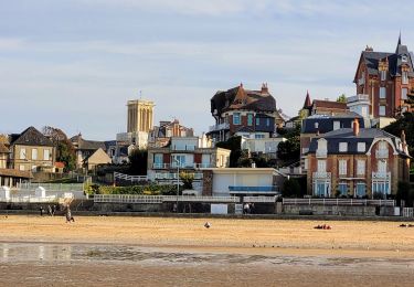
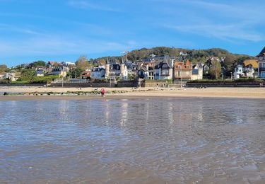
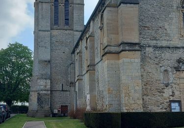
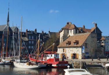
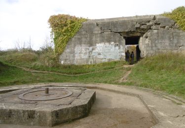
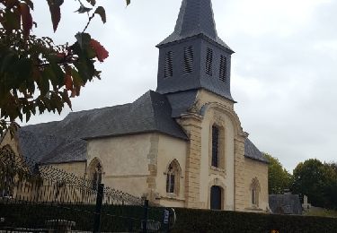
Trail Walking Blonville-sur-Mer - Blonville - 20180618 - GD V2 - Photo

Blonville - 20180618 - GD V2

© OpenStreetMap contributors
Length
Length
9.4 km
Max alt
Max alt
110 m
Uphill gradient
Uphill gradient
136 m
Km-Effort
Km-Effort  
11.2 km
Min alt
Min alt
0 m
Downhill gradient
Downhill gradient
134 m
Boucle
Boucle
Yes
Creation date :
2018-06-26 15:31:49.041
Updated on :
2018-06-26 15:31:49.041

(0 Reviews)

Walking
Walking
2h28
Difficulty : Medium

Scan this QR Code to open this trail in the SityTrail application

FREE GPS app for hiking

Logo SityTrail SityTrail

IGN / Geographical institutes

Download SityTrail from the App Store Download SityTrail from Google Play

Logo SityTrail SityTrail World

The world is yours!

Download SityTrail from the App Store Download SityTrail from Google Play Download SityTrail on Huawei AppGallery

About

Trail Walking of 9.4 km to be discovered at Normandy, Calvados, Blonville-sur-Mer. This trail is proposed by philippe76.

Description

Blonville-sur-Mer :
Départ Rue Marcelle Haricot, PKG voitures- AG rue Henri Millet et suivre le parcours bleu - le tour du marais de 4,2 km - laisser le parcours Bleu. Au carrefour, prendre AD le chemin du Lieu Mallet (ne pas traverser la voie). AG chemin du preé Le Houx, Traverser la voie. AG chemin des enclos. AD entrée du Mt Canisy par le chemin de la fontaine Marie. Suivre le chemin jusqu'au Mt Canisy. Superbe Point de vue. Descendre par la rue du Mont Canisy, AG chemin de Touques, TD rue du Ricoquet, TD roue Hoinville. prendre les planches jusqu'à la fin de la route, AD avenue d'Ornano, AG rue Maurice Allaire, AD rue Marcelle Haricot au PKG du Car.

Elevation profile

Positioning

Country:
France
Region :
Normandy
Department/Province :
Calvados
Municipality :
Blonville-sur-Mer
Location:
Unknown
Start:(UTM)
284279 ; 5468987 (31U) N.

Trails nearby

Trail Nordic walking Villers-sur-Mer - Marche nordique à Villers - Photo
Nordic walking
GUIDE
chessyca

Nordic walking

Very easy
Villers-sur-Mer, Normandy, Calvados, France
8.3 km | 8.4 km-effort
Unknown
Yes
Trail Walking Tourgéville - Combo rando et marche nordique à Deauville - Photo
Walking
GUIDE
chessyca

Walking

Very easy
Tourgéville, Normandy, Calvados, France
20 km | 22 km-effort
4h 12min
Yes
Trail Walking Blonville-sur-Mer - Blonville 2 - Photo
Walking
phi14

Walking

Very easy
(1)
Blonville-sur-Mer, Normandy, Calvados, France
8.3 km | 10.1 km-effort
2h 11min
Yes
Trail Walking Villers-sur-Mer - Villers Sur mer  - Photo
Walking
phi14

Walking

Very easy
(1)
Villers-sur-Mer, Normandy, Calvados, France
9.7 km | 10.9 km-effort
2h 35min
Yes
Trail Walking Deauville - Deauville Touques - Photo
Walking
Axelloceane

Walking

Easy
Deauville, Normandy, Calvados, France
9.4 km | 10.4 km-effort
2h 13min
Yes
Trail Walking Deauville - Deauville Honfleur - Photo
Walking
Axelloceane

Walking

Medium
Deauville, Normandy, Calvados, France
26 km | 32 km-effort
5h 40min
No
Trail Walking Blonville-sur-Mer - Entre marais et histoire - Photo
Walking
rigol05

Walking

Easy
Blonville-sur-Mer, Normandy, Calvados, France
11.1 km | 13 km-effort
2h 44min
Yes
Trail Walking Tourgéville - CRAB : Tourgéville - Deauville - Photo
Walking
PatRando

Walking

Medium
Tourgéville, Normandy, Calvados, France
18 km | 22 km-effort
3h 48min
Yes
Trail Walking Villers-sur-Mer - promenade familiale. les falaises des vaches noires entre Villers-sur-Mer et Houlgate. A faire à marée basse. - Photo
Walking
wallander76

Walking

Very easy
(1)
Villers-sur-Mer, Normandy, Calvados, France
7.9 km | 8.5 km-effort
1h 53min
Yes


Close
My subscriptions