


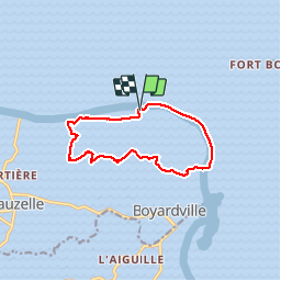

9.2 km | 9.6 km-effort


User


FREE GPS app for hiking
 SityTrail
IGN / Geographical institutes
SityTrail World
The world is yours!
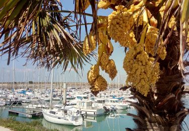
Trail Nordic walking of 10.7 km to be discovered at New Aquitaine, Charente-Maritime, Saint-Georges-d'Oléron. This trail is proposed by dmatignon.
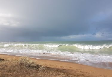
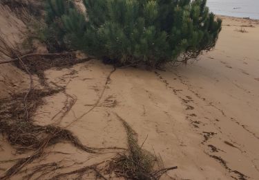
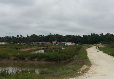
Boucle de marche nordique au départ du parking de la forêt des Saumonards (forêt, plage).
Suit en grande partie le balisage "blanc".

Walking
Walking
Walking
Hybrid bike
Hybrid bike

Walking
Cycle
Walking

Other activity