Trail Walking Villeneuve-Loubet - Les 3 communes - Photo
© OpenStreetMap contributors
Length
Length
16.7 km
Max alt
Max alt
291 m
Uphill gradient
Uphill gradient
327 m
Km-Effort
Km-Effort  
21 km
Min alt
Min alt
141 m
Downhill gradient
Downhill gradient
327 m
Boucle
Boucle
Yes
Creation date :
2018-06-26 14:25:58.966
Updated on :
2018-06-26 14:25:58.966

(0 Reviews)

Walking
Walking
2h42
Difficulty : Easy

Scan this QR Code to open this trail in the SityTrail application

FREE GPS app for hiking

Logo SityTrail SityTrail

IGN / Geographical institutes

Download SityTrail from the App Store Download SityTrail from Google Play

Logo SityTrail SityTrail World

The world is yours!

Download SityTrail from the App Store Download SityTrail from Google Play Download SityTrail on Huawei AppGallery

About

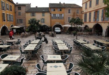
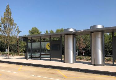
Trail Walking of 16.7 km to be discovered at Provence-Alpes-Côte d'Azur, Maritime Alps, Villeneuve-Loubet. This trail is proposed by flobernic.

Description

Beau parcourt, plein de single tracks sous l'ombre des arbres

Elevation profile

Positioning

Country:
France
Region :
Provence-Alpes-Côte d'Azur
Department/Province :
Maritime Alps
Municipality :
Villeneuve-Loubet
Location:
Unknown
Start:(UTM)
342937 ; 4834075 (32T) N.

Trails nearby

Trail On foot Le Rouret - Le Camp romain - Photo
On foot
GUIDE+

On foot

Easy
Le Rouret, Provence-Alpes-Côte d'Azur, Maritime Alps, France
6.8 km | 9.6 km-effort
2h 10min
Yes
Trail On foot Roquefort-les-Pins - Le Rucher - Photo
On foot
GUIDE+

On foot

Easy
Roquefort-les-Pins, Provence-Alpes-Côte d'Azur, Maritime Alps, France
3.7 km | 4.8 km-effort
1h 5min
No
Trail On foot Biot - Sentier de la Vallée de la Brague - Photo
On foot
GUIDE+

On foot

Easy
Biot, Provence-Alpes-Côte d'Azur, Maritime Alps, France
10 km | 12.5 km-effort
2h 50min
No
Trail On foot Valbonne - Circuit des Macarons - Photo
On foot
GUIDE+

On foot

Easy
Valbonne, Provence-Alpes-Côte d'Azur, Maritime Alps, France
6.3 km | 8.6 km-effort
1h 57min
Yes
Trail On foot Valbonne - Circuit des Bouillides - Photo
On foot
GUIDE+

On foot

Easy
Valbonne, Provence-Alpes-Côte d'Azur, Maritime Alps, France
10.6 km | 13.9 km-effort
3h 8min
Yes
Trail On foot Valbonne - Circuit du Bruguet - Photo
On foot
GUIDE+

On foot

Easy
Valbonne, Provence-Alpes-Côte d'Azur, Maritime Alps, France
7.2 km | 9.4 km-effort
2h 7min
Yes
Trail On foot Valbonne - Circuit de l'Aqueduc - Photo
On foot
GUIDE+

On foot

Easy
Valbonne, Provence-Alpes-Côte d'Azur, Maritime Alps, France
6.3 km | 8 km-effort
1h 49min
Yes
Trail On foot Biot - Circuit de Saint-Philippe - Photo
On foot
GUIDE+

On foot

Easy
Biot, Provence-Alpes-Côte d'Azur, Maritime Alps, France
3.3 km | 4.7 km-effort
1h 4min
No
Trail On foot Biot - Circuit des Pierres à Four - Photo
On foot
GUIDE+

On foot

Easy
Biot, Provence-Alpes-Côte d'Azur, Maritime Alps, France
10.3 km | 13 km-effort
2h 57min
Yes


Close
My subscriptions