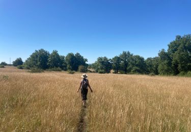
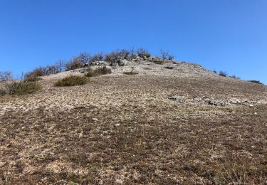
6.5 km | 8.1 km-effort
Carlucet_le Bastit
viam19
User
Length
15.4 km
Max alt
371 m
Uphill gradient
219 m
Km-Effort
18.4 km
Min alt
233 m
Downhill gradient
221 m
Boucle
Yes
Creation date :
2018-06-26 14:23:10.023
Updated on :
2018-06-26 14:23:10.023
5h14
Difficulty : Medium
FREE GPS app for hiking
About
Trail Walking of 15.4 km to be discovered at Occitania, Lot, Carlucet. This trail is proposed by viam19.
Description
randonnée en boucle
Positioning
Country:
France
Region :
Occitania
Department/Province :
Lot
Municipality :
Carlucet
Location:
Unknown
Start:(Dec)
Start:(UTM)
390342 ; 4953109 (31T) N.
Comments
Trails nearby
Le bastit carlucet
Walking
Very easy
Montfaucon,
Occitania,
Lot,
France
20 km | 25 km-effort
4h 11min
Yes
Rando-Cyclo6-Rocamadour-63km-Juin21
Road bike
Very difficult
Le Bastit,
Occitania,
Lot,
France
63 km | 79 km-effort
4h 47min
Yes
Rando-Cyclo14-LeCausse-62km-Juin21
Road bike
Very difficult
Le Bastit,
Occitania,
Lot,
France
62 km | 75 km-effort
4h 33min
Yes
Rando-Cyclo15-Racamadour-56Km-Juin21
Road bike
Very difficult
Le Bastit,
Occitania,
Lot,
France
56 km | 70 km-effort
4h 15min
Yes
Étape 4 septembre 2024
Walking
Very difficult
Montfaucon,
Occitania,
Lot,
France
18.3 km | 24 km-effort
6h 27min
No
Carlucet - Labastide Murat
Walking
Difficult
Carlucet,
Occitania,
Lot,
France
14.4 km | 19 km-effort
4h 18min
No