


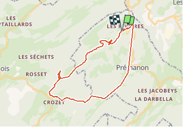


39 km | 49 km-effort

User


FREE GPS app for hiking
 SityTrail
IGN / Geographical institutes
SityTrail World
The world is yours!
Trail Mountain bike of 16.5 km to be discovered at Bourgogne-Franche-Comté, Jura, Prémanon. This trail is proposed by Christophe.39.
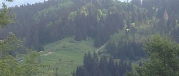
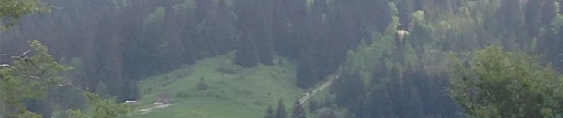
Descente combe berthod attention cailloux .


Cycle

Walking

Walking

Walking

Walking


Walking

Snowshoes
Walking