


24 km | 44 km-effort

User


FREE GPS app for hiking
 SityTrail
IGN / Geographical institutes
SityTrail World
The world is yours!
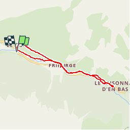
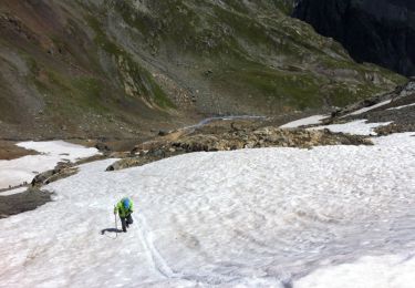
Trail Walking of 6.5 km to be discovered at Auvergne-Rhône-Alpes, Savoy, Champagny-en-Vanoise. This trail is proposed by jpduc.
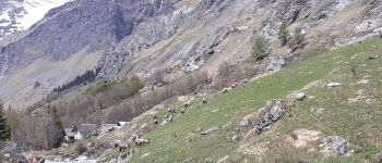
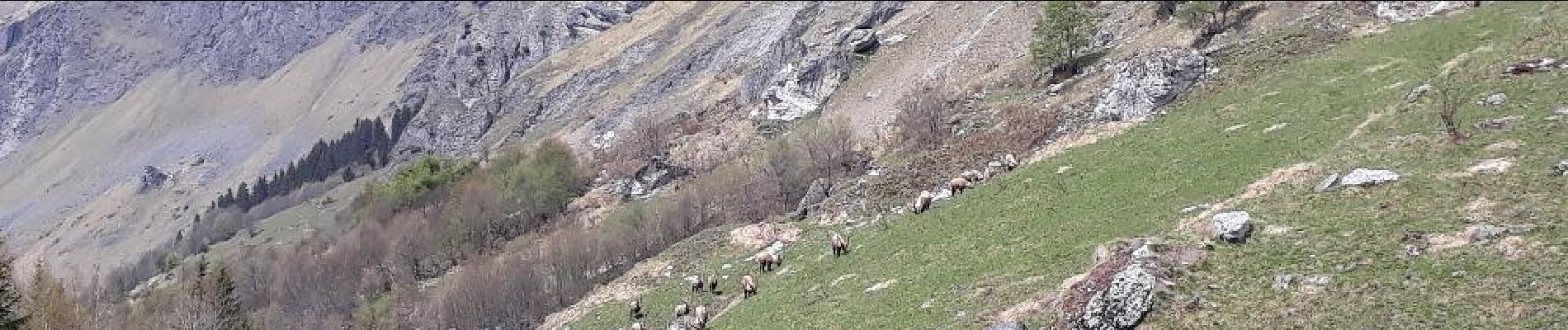
Au départ de Champagny le Haut, balade très facile sur chemin et sentier vers Le Laisonnay d'en bas. Obervation des bouquetins vers le Ruisseau de la Saugine en amont du hameau de Friburge


Walking
Walking
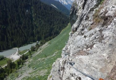
Via ferrata

Walking
Walking

Walking
Walking
Walking
Walking