


18.5 km | 22 km-effort


User


FREE GPS app for hiking
 SityTrail
IGN / Geographical institutes
SityTrail World
The world is yours!
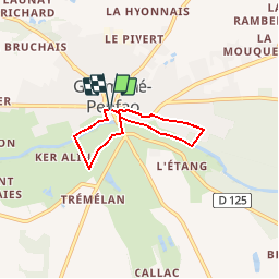
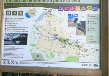
Trail Walking of 4.3 km to be discovered at Pays de la Loire, Loire-Atlantique, Guémené-Penfao. This trail is proposed by smu44.
Au départ de la Place Simon, le circuit de Ker Aline vous emmène longer le Don au bord des prés, puis vous entraîne vers les hauteurs avec un panorama sur la Vallée du Don avant de redescendre vers le Don.

Walking

Walking

Walking
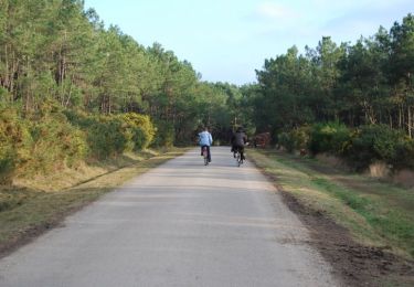
Walking

Walking

Walking
Walking
Walking
Walking