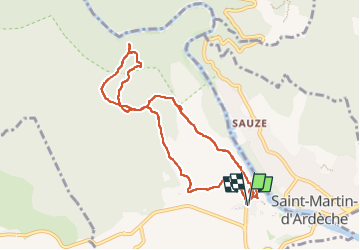

12.6 km | 17 km-effort


User


FREE GPS app for hiking
 SityTrail
IGN / Geographical institutes
SityTrail World
The world is yours!
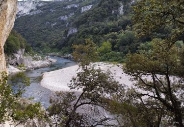
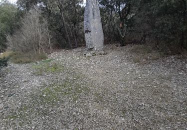
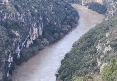
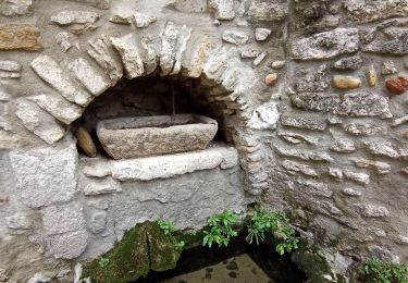
Trail Walking of 9.6 km to be discovered at Occitania, Gard, Aiguèze. This trail is proposed by fario.
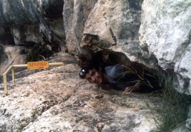
Rando sympa pour un petit groupe de 7 , par une belle journée, mais très ventée . Très beaux panoramas sur la Cèze magnifique. Balade courte, mais très agréable; complétée par la visite d'Aiguèze très beau village, bien fleuri.


Walking
Walking

Walking
Walking
Walking

Walking
Walking