37 km | 40 km-effort
Cotentin Day 1
matb
User
Length
18 km
Max alt
84 m
Uphill gradient
163 m
Km-Effort
20 km
Min alt
1 m
Downhill gradient
172 m
Boucle
No
Creation date :
2018-06-26 12:51:08.266
Updated on :
2018-06-26 12:51:08.266
5h12
Difficulty : Unknown
FREE GPS app for hiking
About
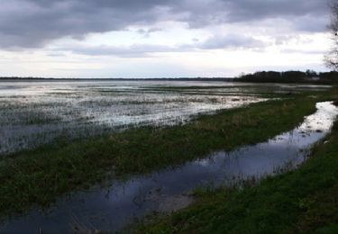
Trail Walking of 18 km to be discovered at Normandy, Manche, Picauville. This trail is proposed by matb.
Positioning
Country:
France
Region :
Normandy
Department/Province :
Manche
Municipality :
Picauville
Location:
Vindefontaine
Start:(Dec)
Start:(UTM)
614600 ; 5467299 (30U) N.
Comments
Trails nearby
Autour de Picauville
Walking
Difficult
Picauville,
Normandy,
Manche,
France
13.8 km | 15.2 km-effort
3h 30min
Yes
PICAUVILLE PETITE
Walking
Easy
Picauville,
Normandy,
Manche,
France
5.4 km | 5.8 km-effort
1h 19min
Yes
vindefont
Walking
Difficult
Picauville,
Normandy,
Manche,
France
13.1 km | 14.4 km-effort
2h 48min
Yes
13262737-Lun 2607 P4 Du « BCN-BPF » au BPC (Bulots Pommes
Road bike
Very difficult
Étienville,
Normandy,
Manche,
France
148 km | 168 km-effort
9h 35min
Yes
10787760-DIM 2507 P4 Comme un pur-sang à travers les marais
Road bike
Very difficult
Picauville,
Normandy,
Manche,
France
120 km | 134 km-effort
8h 7min
No
vindefontaine
Walking
Very easy
(1)
Picauville,
Normandy,
Manche,
France
5 km | 5.6 km-effort
1h 16min
Yes