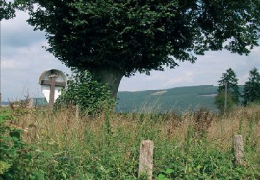
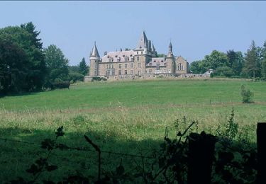
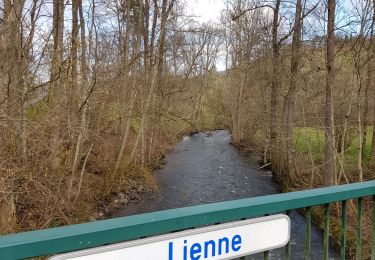
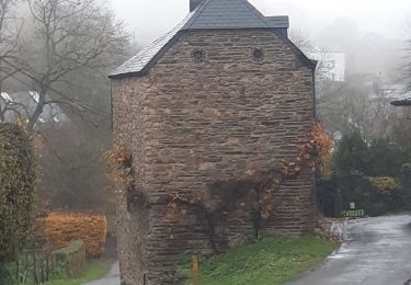
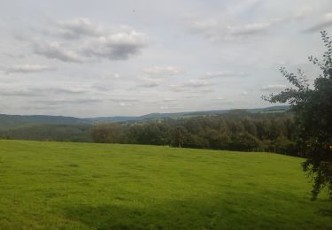
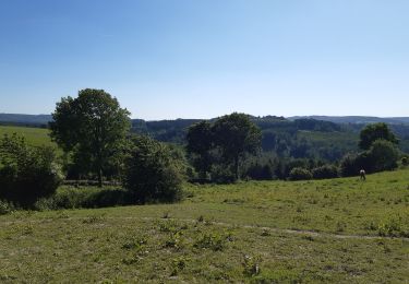
6.1 km | 8.9 km-effort
Zabonprés
phbindelle
User
Length
8.8 km
Max alt
505 m
Uphill gradient
403 m
Km-Effort
14.2 km
Min alt
184 m
Downhill gradient
402 m
Boucle
Yes
Creation date :
2018-06-26 12:45:37.278
Updated on :
2018-06-26 12:45:37.278
21m
Difficulty : Medium
FREE GPS app for hiking
About
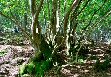
Trail Other activity of 8.8 km to be discovered at Wallonia, Liège, Stoumont. This trail is proposed by phbindelle.
Positioning
Country:
Belgium
Region :
Wallonia
Department/Province :
Liège
Municipality :
Stoumont
Location:
Stoumont
Start:(Dec)
Start:(UTM)
696362 ; 5588553 (31U) N.
Comments
Trails nearby
Lorcé, Natura 2000 - Des sites qui valent le détour, Lg13
Walking
Easy
(7)
Stoumont,
Wallonia,
Liège,
Belgium
1h 57min
Yes
RB-Lg-14 - Raccourci
Walking
Very difficult
(5)
Stoumont,
Wallonia,
Liège,
Belgium
17 km | 24 km-effort
5h 28min
Yes
RB-LG-13 - Par monts et par vaux autour de Stoumont
Walking
Very difficult
(11)
Stoumont,
Wallonia,
Liège,
Belgium
23 km | 32 km-effort
7h 19min
Yes
2022-02-03_17h52m52_StoumontP14PromenadedessommetsdelaLienne
Walking
Medium
(2)
Stoumont,
Wallonia,
Liège,
Belgium
16.1 km | 23 km-effort
5h 11min
Yes
lorcé . suf la lienne . Chevron . lorcé
Walking
Very easy
(1)
Stoumont,
Wallonia,
Liège,
Belgium
15.9 km | 22 km-effort
5h 41min
Yes
RB-Lg-14 - De point de vue en point de vue autour de Lorcé
Walking
Very difficult
(4)
Stoumont,
Wallonia,
Liège,
Belgium
22 km | 30 km-effort
6h 53min
Yes
10km sous la pluie autour de Lorcé
Walking
Easy
(1)
Stoumont,
Wallonia,
Liège,
Belgium
10.6 km | 14.1 km-effort
2h 47min
Yes
ST12 Lorcé . Chession . Lorcé
Walking
Easy
(1)
Stoumont,
Wallonia,
Liège,
Belgium
12.7 km | 17.7 km-effort
4h 28min
No
stoumont . corniche - congo . chateau froidcourt . ambleve . stoumont
Walking
Very easy
(1)
Stoumont,
Wallonia,
Liège,
Belgium
9.1 km | 12.1 km-effort
2h 44min
Yes