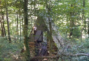
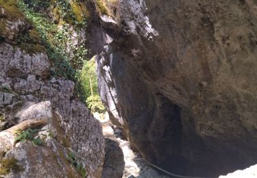
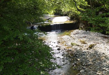
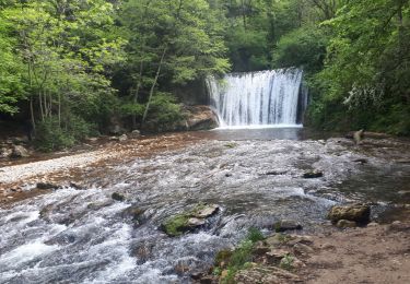
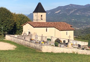
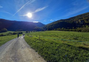
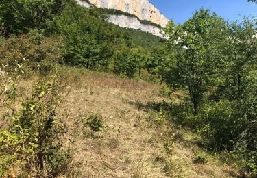
Trail Walking Saint-Jean-en-Royans - pas de la sere grotte de frette - Photo

pas de la sere grotte de frette

 jl38
jl38

User

© OpenStreetMap contributors
Length
Length
14.9 km
Max alt
Max alt
912 m
Uphill gradient
Uphill gradient
732 m
Km-Effort
Km-Effort  
25 km
Min alt
Min alt
255 m
Downhill gradient
Downhill gradient
735 m
Boucle
Boucle
No
Creation date :
2018-06-26 12:44:29.985
Updated on :
2020-02-14 10:34:51.352

(0 Reviews)

Walking
Walking
4h21
Difficulty : Unknown

Scan this QR Code to open this trail in the SityTrail application

FREE GPS app for hiking

Logo SityTrail SityTrail

IGN / Geographical institutes

Download SityTrail from the App Store Download SityTrail from Google Play

Logo SityTrail SityTrail World

The world is yours!

Download SityTrail from the App Store Download SityTrail from Google Play Download SityTrail on Huawei AppGallery

About

Trail Walking of 14.9 km to be discovered at Auvergne-Rhône-Alpes, Drôme, Saint-Jean-en-Royans. This trail is proposed by jl38.

Description

st jean en Royans

Elevation profile

Positioning

Country:
France
Region :
Auvergne-Rhône-Alpes
Department/Province :
Drôme
Municipality :
Saint-Jean-en-Royans
Location:
Unknown
Start:(UTM)
680546 ; 4987164 (31T) N.

Comments

Please log in to post a review or rate the element


Bonjours, je connais bien cette balade, c'est un peu raide dans des pierriers pour la montée sous Frochet (les parapentiste utilise souvent, cela relie l’aérodrome à la zone de départ de parapente), et cela vaut le détour. un super point de vue prés du col de Gaudissart. petite remarque au passage : dans la description c'est grotte de Frochet et non pas "frette", et le pas de la "serre" .


Trails nearby

Trail Walking Sainte-Eulalie-en-Royans - 26 ste eulalie - Photo
Walking
GUIDE
randodyssée

Walking

Medium
Sainte-Eulalie-en-Royans, Auvergne-Rhône-Alpes, Drôme, France
14.8 km | 27 km-effort
6h 43min
No
Trail Walking Bouvante - 26 gorges lyonne 23.08.23 - Photo
Walking
GUIDE
randodyssée

Walking

Medium
Bouvante, Auvergne-Rhône-Alpes, Drôme, France
13.7 km | 23 km-effort
9h 7min
No
Trail Walking Bouvante - 26 val ste marie - Photo
Walking
GUIDE
randodyssée

Walking

Medium
Bouvante, Auvergne-Rhône-Alpes, Drôme, France
12.7 km | 25 km-effort
6h 44min
Yes
Trail Walking Oriol-en-Royans - 26 pas de l écho  - Photo
Walking
GUIDE
randodyssée

Walking

Medium
Oriol-en-Royans, Auvergne-Rhône-Alpes, Drôme, France
22 km | 36 km-effort
8h 42min
Yes
Trail sport Saint-Laurent-en-Royans - St Laurent en Royans. La Laurentine - Photo
sport
alinetpierre

sport

Very easy
Saint-Laurent-en-Royans, Auvergne-Rhône-Alpes, Drôme, France
16.3 km | 27 km-effort
Unknown
Yes
Trail Nordic walking Saint-Laurent-en-Royans - Circuit entre Saint-Laurent-en-Royans et Pont-en-Royans - Photo
Nordic walking
Emelle

Nordic walking

Medium
Saint-Laurent-en-Royans, Auvergne-Rhône-Alpes, Drôme, France
13 km | 17.4 km-effort
5h 9min
Yes
Trail Walking Rochechinard - Rochechinard la Ragnole les Berthonettes - Photo
Walking
alinetpierre

Walking

Easy
(1)
Rochechinard, Auvergne-Rhône-Alpes, Drôme, France
12.1 km | 18.9 km-effort
2h 55min
Yes
Trail Walking Rochechinard - Chateau de Rochechinard - Photo
Walking
crocau

Walking

Very easy
Rochechinard, Auvergne-Rhône-Alpes, Drôme, France
4.3 km | 6.7 km-effort
1h 57min
Yes
Trail Walking Saint-Laurent-en-Royans - Tour de Combe Laval  - Photo
Walking
alinetpierre

Walking

Difficult
Saint-Laurent-en-Royans, Auvergne-Rhône-Alpes, Drôme, France
24 km | 40 km-effort
6h 48min
Yes


Close
My subscriptions