


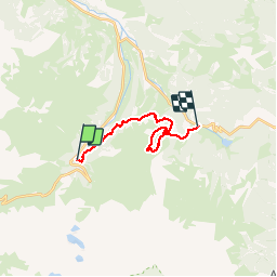


10.2 km | 20 km-effort

convivialite, sport et fiesta


FREE GPS app for hiking
 SityTrail
IGN / Geographical institutes
SityTrail World
The world is yours!
Trail Walking of 15 km to be discovered at Occitania, Hautespyrenees, Campan. This trail is proposed by Lous Passa camins.
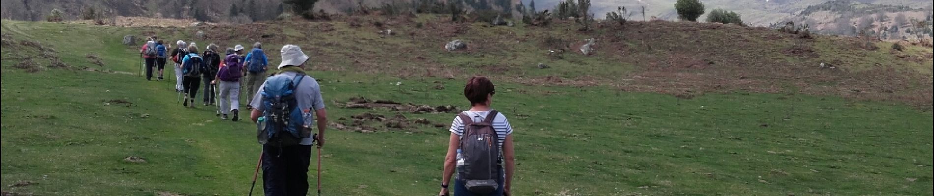
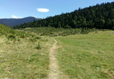
une petite rallonge vers l courtaou des Esclozes s'imposait, pour parfaire le dénivelé. mais une jolie ballade a faire en famille.


Walking

Walking

Walking

On foot

Walking
Walking

Walking

Walking
On foot