


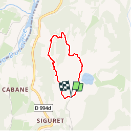

8.2 km | 18.4 km-effort

User


FREE GPS app for hiking
 SityTrail
IGN / Geographical institutes
SityTrail World
The world is yours!
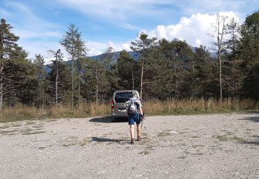
Trail Walking of 2.6 km to be discovered at Provence-Alpes-Côte d'Azur, Hautes-Alpes, Saint-André-d'Embrun. This trail is proposed by Dervalmarc.
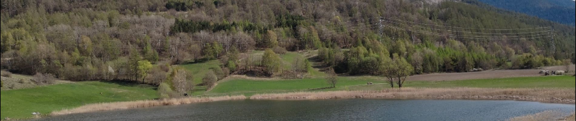
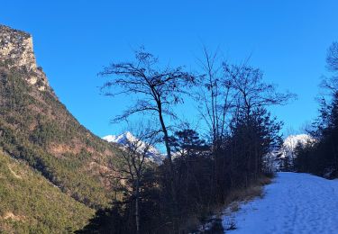
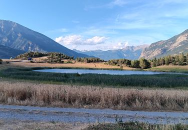
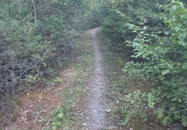
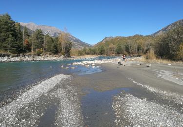
Petite randonnée agréable en balcon sur la Durance.
Nombreux points de vue sur la vallée du Rabioux.
Attention au vide avec des enfants.
 - Photo 1")
 - Photo 2")
 - Photo 3")
 - Photo 4")
 - Photo 5")
 - Photo 6")
 - Photo 7")

Walking

Walking

Walking
Walking
Walking

Walking
Walking
Walking
Walking