Trail Walking Mont Dore - La coulée au Mont-Dore - Photo

La coulée au Mont-Dore

© OpenStreetMap contributors
Length
Length
13.9 km
Max alt
Max alt
509 m
Uphill gradient
Uphill gradient
592 m
Km-Effort
Km-Effort  
22 km
Min alt
Min alt
38 m
Downhill gradient
Downhill gradient
592 m
Boucle
Boucle
Yes
Creation date :
2018-06-26 10:56:25.695
Updated on :
2018-06-26 10:56:25.695

(0 Reviews)

Walking
Walking
4h07
Difficulty : Medium

Scan this QR Code to open this trail in the SityTrail application

FREE GPS app for hiking

Logo SityTrail SityTrail
IGN / Geographical institutes

Download SityTrail from the App Store Download SityTrail from Google Play

Logo SityTrail SityTrail World

The world is yours!

Download SityTrail from the App Store Download SityTrail from Google Play Download SityTrail on Huawei AppGallery

About

Trail Walking of 13.9 km to be discovered at Unknown, South Province, Mont Dore. This trail is proposed by cderoffignac.

Description

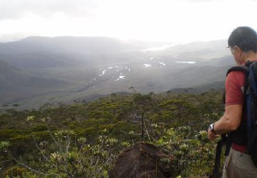
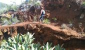
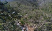
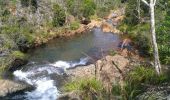
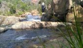
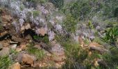
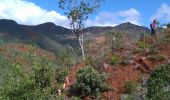
Située sur la commune du Mont-Dore, cette rando n'est pas vraiment balisée (quelques fanions ici ou là) et nécessité d'avoir un repérage GPS. Je l'ai faite avec un guide. Cette rando passe dans la forêt donc égratignures obligatoires car le feuillage est dense par endroit (manches longues et pantalon sinon à prévoir). Belle rando avec quelques points de vue et un arrêt pic-nic (au 3/4 de la rando) au niveau de la rivière avec baignade possible dans le bassin.

Elevation profile

Photos

62 photos in total. Please click on a photo to see them all in the gallery.

Positioning

Country:
France
Region :
Unknown
Department/Province :
South Province
Municipality :
Mont Dore
Location:
Unknown
Start:(UTM)
663744 ; 7545287 (58K) S.

Trails nearby

Trail Walking Mont Dore - Tour du bassin de la Coulée - Photo
Walking
tracegps

Walking

Difficult
Mont Dore, Unknown, South Province, France
18.6 km | 33 km-effort
10h 0min
Yes


Close
My subscriptions