


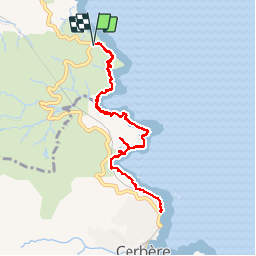


10.1 km | 14 km-effort


User


FREE GPS app for hiking
 SityTrail
IGN / Geographical institutes
SityTrail World
The world is yours!
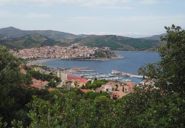
Trail Walking of 10.2 km to be discovered at Occitania, Pyrénées-Orientales, Banyuls-sur-Mer. This trail is proposed by MarieFrancoise.
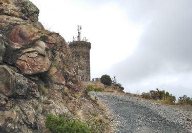
suivre la route des cols .départ du parking du domaine Tambour sur la route entre Banyuls et Cerbère.
Emprunter le sentier du littoral
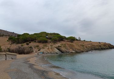
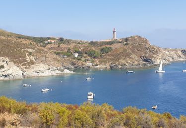
Magnifiques points de vue sur la côte rocheuse
passer par le centre médical ouvrir 2 portillons puis le village d Aloé.


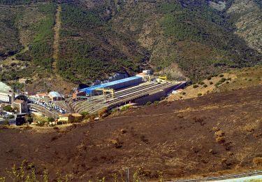
25 photos in total. Please click on a photo to see them all in the gallery.

Walking

Walking

Walking
Walking
Walking

Walking
Walking
Walking