


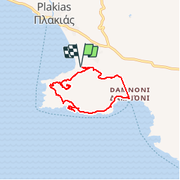

11.1 km | 16.5 km-effort


User GUIDE


FREE GPS app for hiking
 SityTrail
IGN / Geographical institutes
SityTrail World
The world is yours!
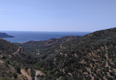
Trail Walking of 7.3 km to be discovered at Region of Crete, Rethymno Regional Unit. This trail is proposed by fredetpascale.
Intérêt rando moyenne.
1h en plus pour le sommet et visite du club de vacances
Walking