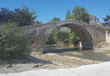
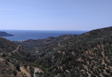
10.6 km | 15.6 km-effort
Créte-Triopetra 12-04-2018
fredetpascale
User GUIDE
Length
9 km
Max alt
53 m
Uphill gradient
188 m
Km-Effort
11.5 km
Min alt
-1 m
Downhill gradient
188 m
Boucle
Yes
Creation date :
2018-04-18 00:28:12.585
Updated on :
2018-04-18 00:28:12.585
3h06
Difficulty : Easy
FREE GPS app for hiking
About
Trail Walking of 9 km to be discovered at Region of Crete, Rethymno Regional Unit. This trail is proposed by fredetpascale.
Description
Sentier littoral et belles plages sauvages
Positioning
Country:
Greece
Region :
Region of Crete
Department/Province :
Rethymno Regional Unit
Municipality :
Unknown
Location:
Unknown
Start:(Dec)
Start:(UTM)
277926 ; 3887188 (35S) N.
Comments
Trails nearby
Gorges de Moundros et de Kato Paros (rother n°36)
Walking
Difficult
,
Region of Crete,
Rethymno Regional Unit,
Greece
3h 32min
Yes
La plage de Préveli depuis le pont Vénitien (taverne Gefyra) (Rother n°38)
Walking
Medium
,
Region of Crete,
Rethymno Regional Unit,
Greece
8 km | 11.8 km-effort
2h 40min
Yes
Myrthios-Sellia
Walking
Difficult
,
Region of Crete,
Rethymno Regional Unit,
Greece
11.1 km | 16.5 km-effort
2h 21min
Yes
Crète Cap Kako Mouri 6-4-2018
Walking
Easy
,
Region of Crete,
Rethymno Regional Unit,
Greece
7.3 km | 11.6 km-effort
2h 37min
Yes
Crète-Red Beach 11-04-2018
Walking
Easy
Municipality of Pitsidia,
Region of Crete,
Heraklion Regional Unit,
Greece
3.1 km | 5 km-effort
1h 8min
Yes
Crète-Préveli 2-4-2018
Walking
Easy
,
Region of Crete,
Rethymno Regional Unit,
Greece
9.1 km | 14.3 km-effort
2h 53min
Yes
Aghifaranga
Walking
Very difficult
Municipality of Pigaidakia,
Region of Crete,
Heraklion Regional Unit,
Greece
25 km | 34 km-effort
5h 29min
No
Crête-Agia Galini
Walking
Medium
Municipality of Agia Galini,
Region of Crete,
Rethymno Regional Unit,
Greece
8 km | 12.1 km-effort
2h 32min
No
crete agia galini
Walking
Medium
Municipality of Agia Galini,
Region of Crete,
Rethymno Regional Unit,
Greece
28 km | 40 km-effort
8h 43min
No