


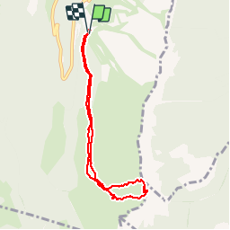


8.7 km | 17.3 km-effort

User


FREE GPS app for hiking
 SityTrail
IGN / Geographical institutes
SityTrail World
The world is yours!
Trail Snowshoes of 7.5 km to be discovered at Auvergne-Rhône-Alpes, Isère, Lans-en-Vercors. This trail is proposed by patjobou.
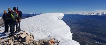
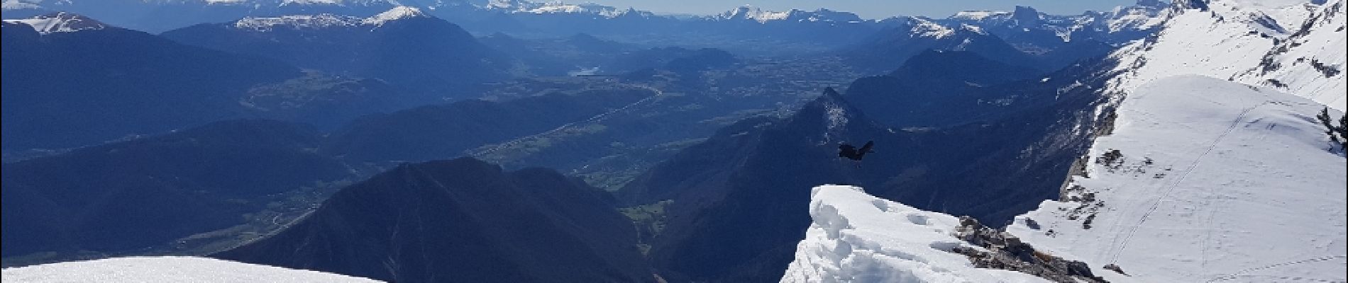
Montée par le col nord avec un passage délicat entre le col et le sommet sur 5 pas. Descente par le col sud plus facile.


Walking

Snowshoes

Walking

Walking

Walking

Snowshoes

Walking

Walking

Touring skiing