


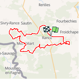


41 km | 48 km-effort


User GUIDE


FREE GPS app for hiking
 SityTrail
IGN / Geographical institutes
SityTrail World
The world is yours!
Trail Mountain bike of 34 km to be discovered at Wallonia, Hainaut, Sivry-Rance. This trail is proposed by pascalou73.
Voilà un VTT dans la région de Rance une belle région de la bote du Hainaut . Un VTT fait de beaux sentiers dans les bois et campagne . À faire plus pas beau temps bon randonnée

Hybrid bike

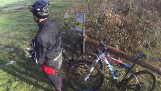
Mountain bike

Walking

Walking

Walking

Walking
Walking

On foot

On foot