


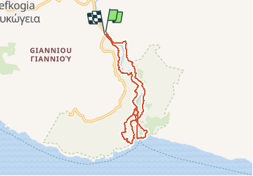

8 km | 11.8 km-effort


User GUIDE


FREE GPS app for hiking
 SityTrail
IGN / Geographical institutes
SityTrail World
The world is yours!
Trail Walking of 9.1 km to be discovered at Region of Crete, Rethymno Regional Unit. This trail is proposed by fredetpascale.
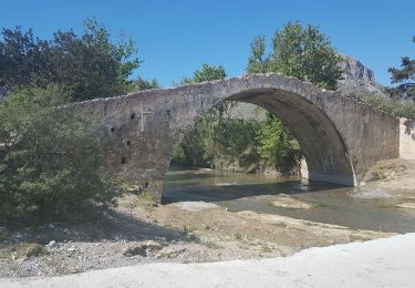
A/R Palmeraie
Walking

Walking